
Travel south through North and Central America and the road appears to promise continuity. Road quality, speed and border procedures may change, but the basic structure of an overland journey remains intact: the traveller, vehicle and luggage move together along the same route.
In eastern Panama, that structure breaks apart.
The Pan-American Highway reaches the Darién region, but no continuous road carries an ordinary vehicle across the border into Colombia. Maps and satellite imagery show roads, tracks, rivers, settlements and forest paths beyond the highway, but a visible line is not necessarily a maintained road, an authorized border route or a corridor joining the two national road systems.
The question is therefore larger than where the asphalt ends. How far can vehicles continue from either side? Which rivers, coastal connections or paths carry movement deeper into the region? And how can the traveller, vehicle and equipment be reunited in Colombia?
The Darién Gap is often presented mainly as a dangerous jungle crossing. For an overland traveller, however, it is also a breakdown of transport continuity. The traveller may continue by air, sea, river or on foot, while the vehicle normally travels separately by cargo ship.
One continental journey becomes several independent movements before it can be assembled again on the other side.
This is not a personal jungle-crossing account. It is a map-based reconstruction of the roads, rivers, settlements, paths and transport connections around the Darién Gap, identifying where the connected road journey ends, what movement remains possible beyond it and how continuity can be restored in South America.
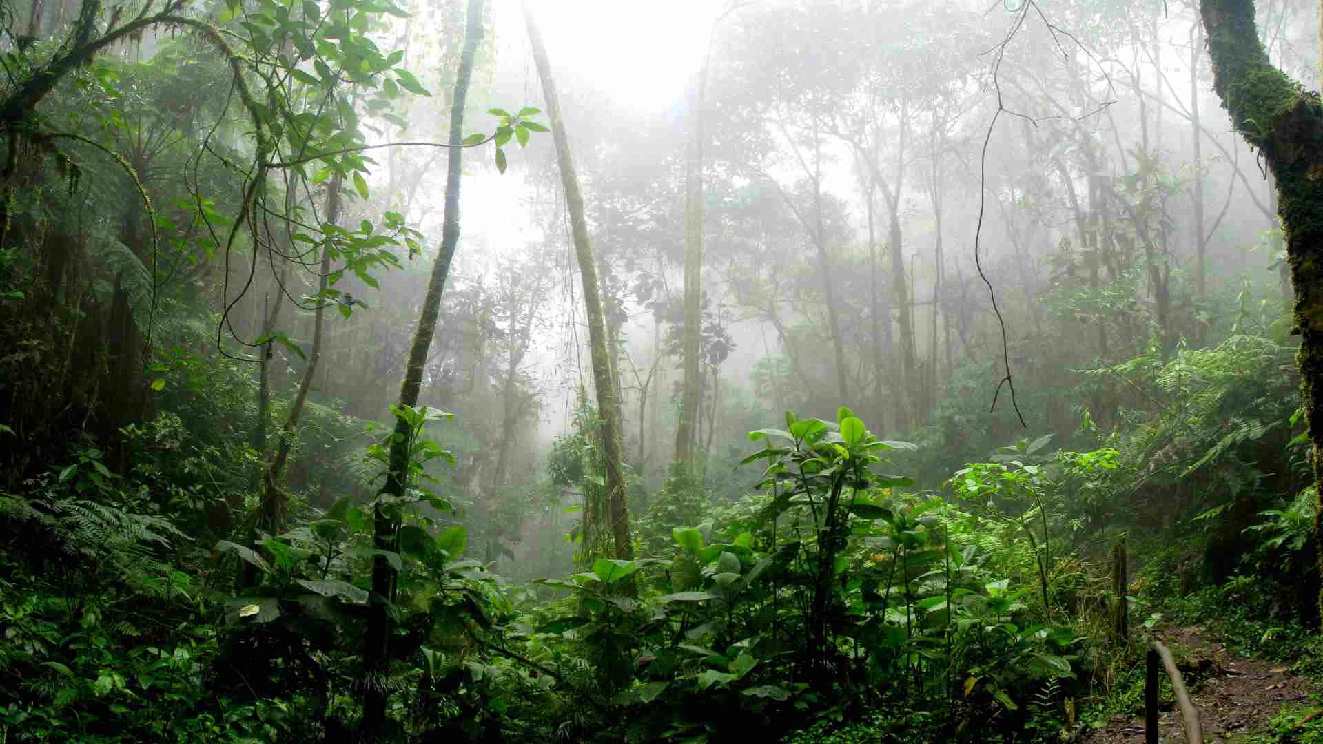
Table of Contents
What and Where Is the Darién Gap?
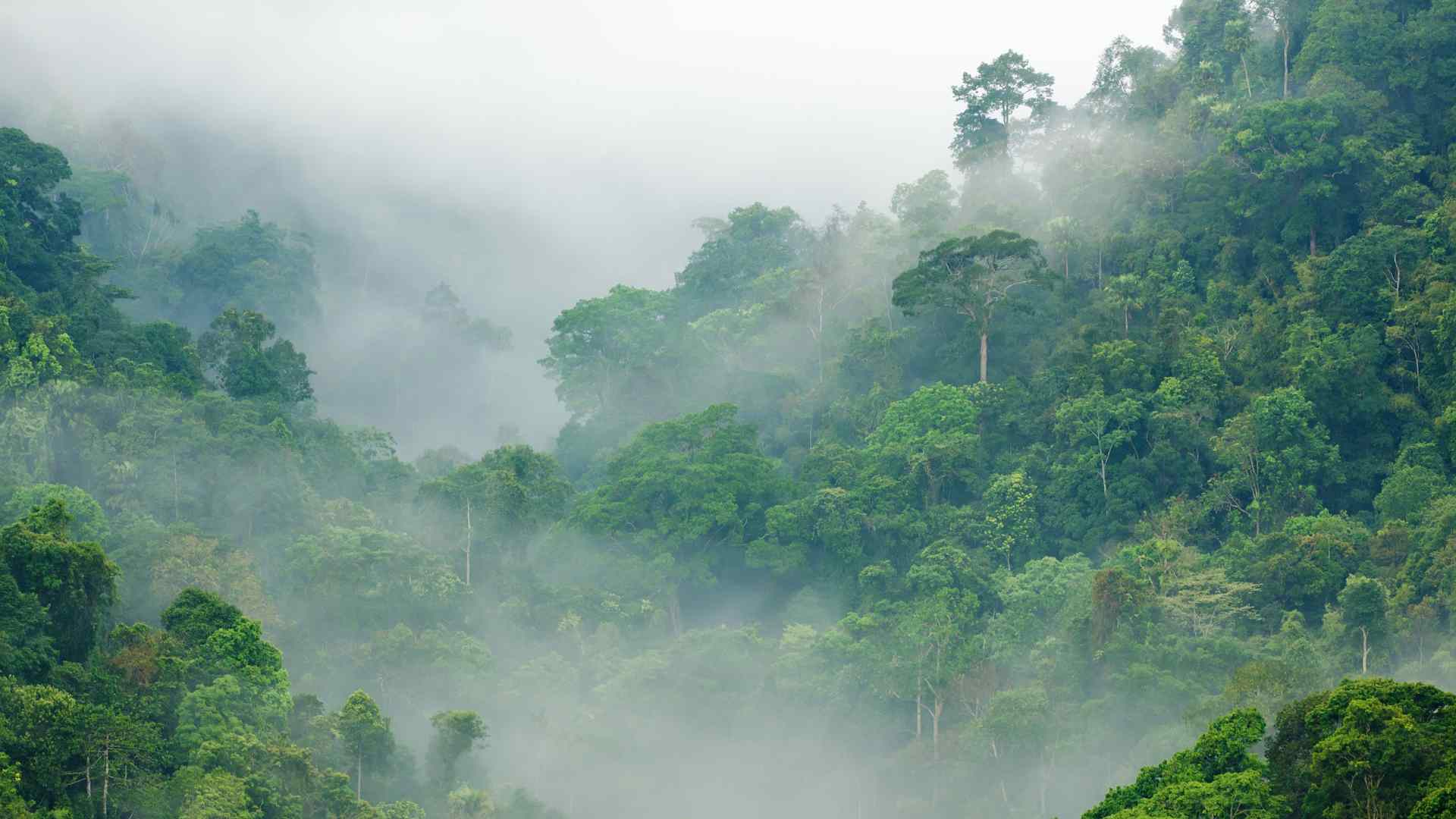
The Darién Gap occupies the border region between eastern Panama and northwestern Colombia, where the Central American land bridge meets the northern edge of South America. It is not one uniform wall of jungle, but a complex landscape of tropical forest, rivers, wetlands, mountain ridges, protected areas and dispersed communities. This geography determines where roads end and what forms of movement remain possible beyond them.
Location
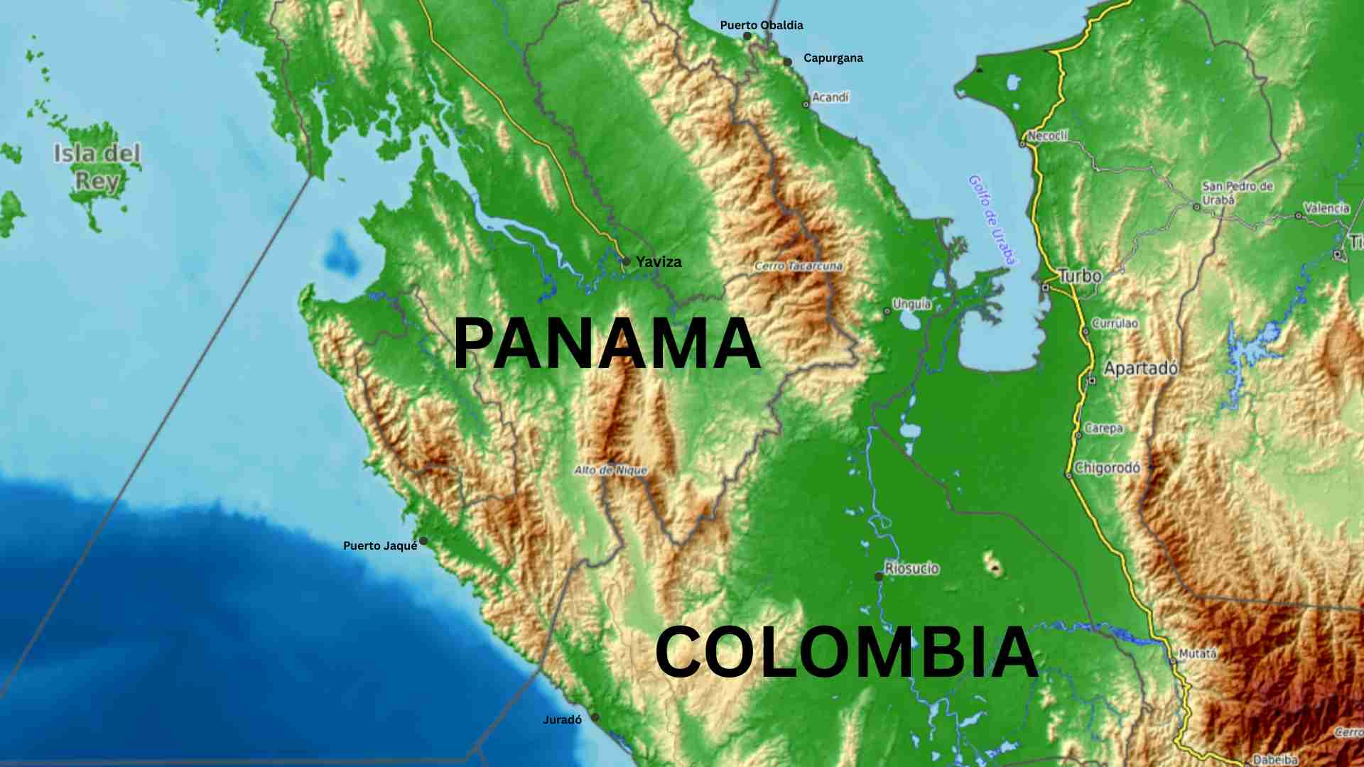
On the Panamanian side, Yaviza is the principal reference point at the eastern end of the established Pan-American Highway. Beyond it, southeastern Panama extends toward the Colombian frontier through river basins, forested lowlands and the mountain systems protected within Darién National Park.
On the Colombian side, the geography opens toward the Gulf of Urabá and the lower Atrato basin. Acandí and Capurganá lie close to the Panamanian border on the western side of the gulf, while Necoclí, Turbo and the wider road network of Antioquia lie farther east.
These are not opposite ends of the same missing road. Yaviza marks the end of the connected approach from Central America; Capurganá and Acandí belong to an isolated coastal system; and Necoclí and Turbo reconnect the journey with the wider South American road network. The gap is therefore a region between several transport systems rather than a blank space between two roadheads.
The Geographical Environment
The Darién contains four broad types of terrain: lowland forest and wetlands, mountain ridges, river systems and two distinct coastal environments. Each permits some forms of movement while obstructing others.
The interior
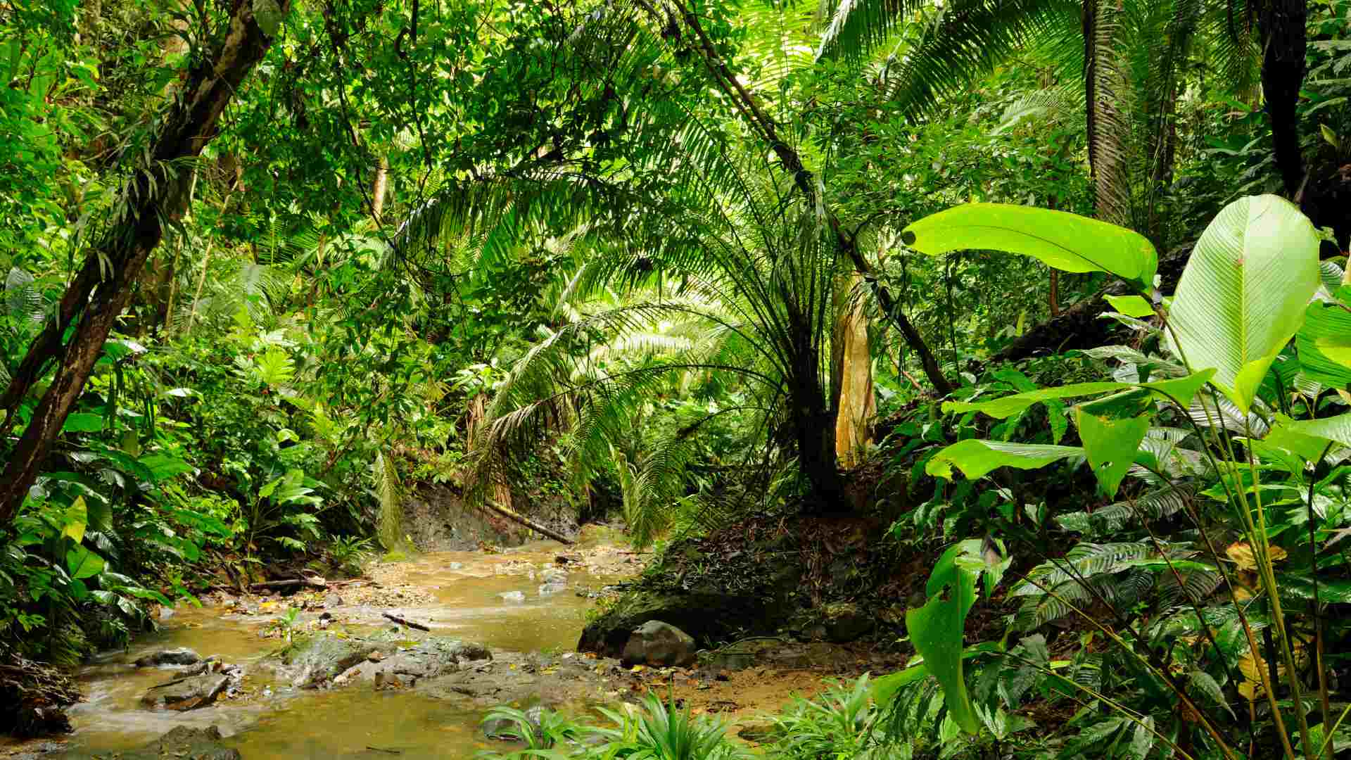
Lower ground may initially appear to offer the easiest passage, but many apparent openings between the ridges are floodplains, river valleys or swamps. In the lower Atrato and Cacarica basins, periodically flooded ground, permanent wetlands and the Tumaradó lagoon system create soft foundations crossed by numerous channels. A continuous road would require raised construction, drainage, bridges and constant maintenance; lower elevation does not necessarily mean easier travel.
The mountains create a different problem. The Pirre–Nique and Tacarcuna ridges provide firmer ground in places, but also steep slopes, narrow valleys, erosion and repeated stream crossings. Heavy rainfall keeps the soil unstable, while dense forest, roots and deeply weathered ground fill the apparent gaps between the ridges. Avoiding swamps can therefore mean exchanging flooding for difficult climbing and unstable slopes.
Rivers form the most important natural transport corridors. The Tuira and Chucunaque systems connect communities beyond Panama’s road network, while the Atrato and its tributaries perform the same function in Colombia. Boats can carry people, supplies, bicycles and sometimes small motorcycles, but once the road ends the traveller and equipment have entered a different transport system.
The coasts
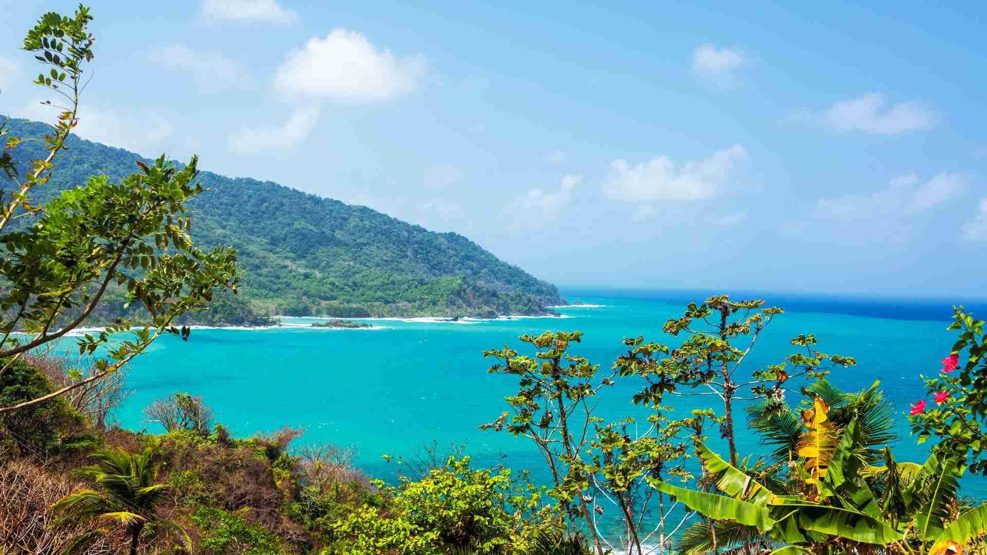
The coasts provide another alternative. Around Puerto Obaldía, Capurganá and Acandí, the Caribbean may appear to offer a route around the interior mountains and wetlands, yet the shoreline is interrupted by headlands, river mouths, mangroves and exposed sea. The Gulf of Urabá then separates the isolated frontier settlements from the connected road network around Necoclí and Turbo. The Pacific coast is still more fragmented, with settlements linked mainly by boats and small aircraft.
Settlements marked on a map must also be interpreted carefully. A village may be connected to neighbouring communities by canoe, footpath or a short local track, but its existence does not prove that a maintained road reaches it or continues toward the international border.
The geographical problem is therefore not that every part of the Darién is impassable. Wetlands, mountains, rivers and coasts support different forms of movement. What is absent is one maintained corridor joining them into a continuous road between Panama and Colombia.
The Gap Is Not Empty
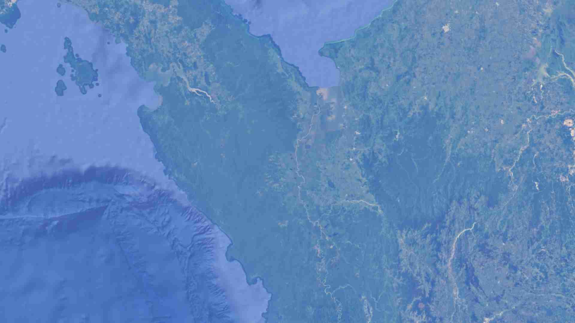
At a small map scale, the Darién may appear as an almost unbroken green space between the last Panamanian roads and the first Colombian ones. On the ground, it is neither empty nor motionless. Emberá, Wounaan, Guna, Afro-Colombian and other rural communities live within and around its forests, rivers and protected areas, using movement systems that long predate the Pan-American Highway.
Settlements commonly follow riverbanks. Canoes and motorboats provide access to neighbouring villages, cultivated land, markets and administrative centres, while footpaths connect houses with fields, hunting areas and boat landings. From above, these routes may appear as clearings, narrow lines or short road-like fragments, but their function is usually local rather than continental.
More recently, migrant movement has created additional corridors through parts of the region. These routes confirm that people can combine boats and prolonged travel on foot, but they do not make those corridors maintained, safe, legally usable or suitable for ordinary travel. The gap is defined not by an absence of movement, but by the failure of its local networks to combine into one public route carrying traveller, vehicle and luggage continuously between the two countries.
The Pan-American Highway and the Break in the Continental Route
The Pan-American Highway is not one uniformly numbered road but a system of national highways across North, Central and South America. Together, they allow an overland traveller to cross much of the Western Hemisphere with the same vehicle and equipment.
In the Darién, that continuity disappears. Passengers can bypass the break by air or sea, but drivers, motorcyclists and long-distance cyclists must determine what can still move after the connected road ends: the traveller, the equipment, the vehicle—or only some of them. Within the wider system of long-distance overland routes, the Darién is one of the clearest examples of a barrier that changes the structure of an entire continental crossing.
Can the Darién Gap Be Crossed?
The absence of a continuous road does not mean that all movement stops. Roads and tracks penetrate the region from both sides, rivers connect remote settlements, and forest paths reach deep into the borderlands.
Each apparent corridor must be tested against three questions:
- Can a person move through it?
- Can the international border be processed legally there?
- Can the same vehicle continue through it?
No present route across the interior Darién answers all three questions with yes.
The Administrative Reality: No Land Border Crossing
Panama and Colombia have no conventional terrestrial border crossing. There is no road terminal where a traveller can leave one country, complete immigration and customs procedures, and continue into the other with the same vehicle.
The authorized points in the border region are maritime. Puerto Obaldía in Panama and Capurganá in Colombia form the principal Caribbean pair, while Puerto Jaqué and Juradó serve the Pacific side. All four settlements lie outside their countries’ connected road networks and depend primarily on maritime transport, with limited air access in parts of the system.
Their status as migration-control points does not guarantee a regular international ferry or a stable public timetable. It means that legally organized maritime movement can be processed when the necessary officials, boats and clearances are available. The Pacific system is more fragmented, but the administrative principle is the same: the border is processed at coastal points, not along an interior forest path.
Yaviza therefore marks the failure of the continental road, not the gateway to an official crossing. A traveller reaching the highway end must divert toward a maritime point or leave by air, while a foreign vehicle requires a separate shipping and customs process. A path may reach the political boundary without creating an international route: physical and legal continuity are different problems.
Following the Interior Routes Beyond Yaviza
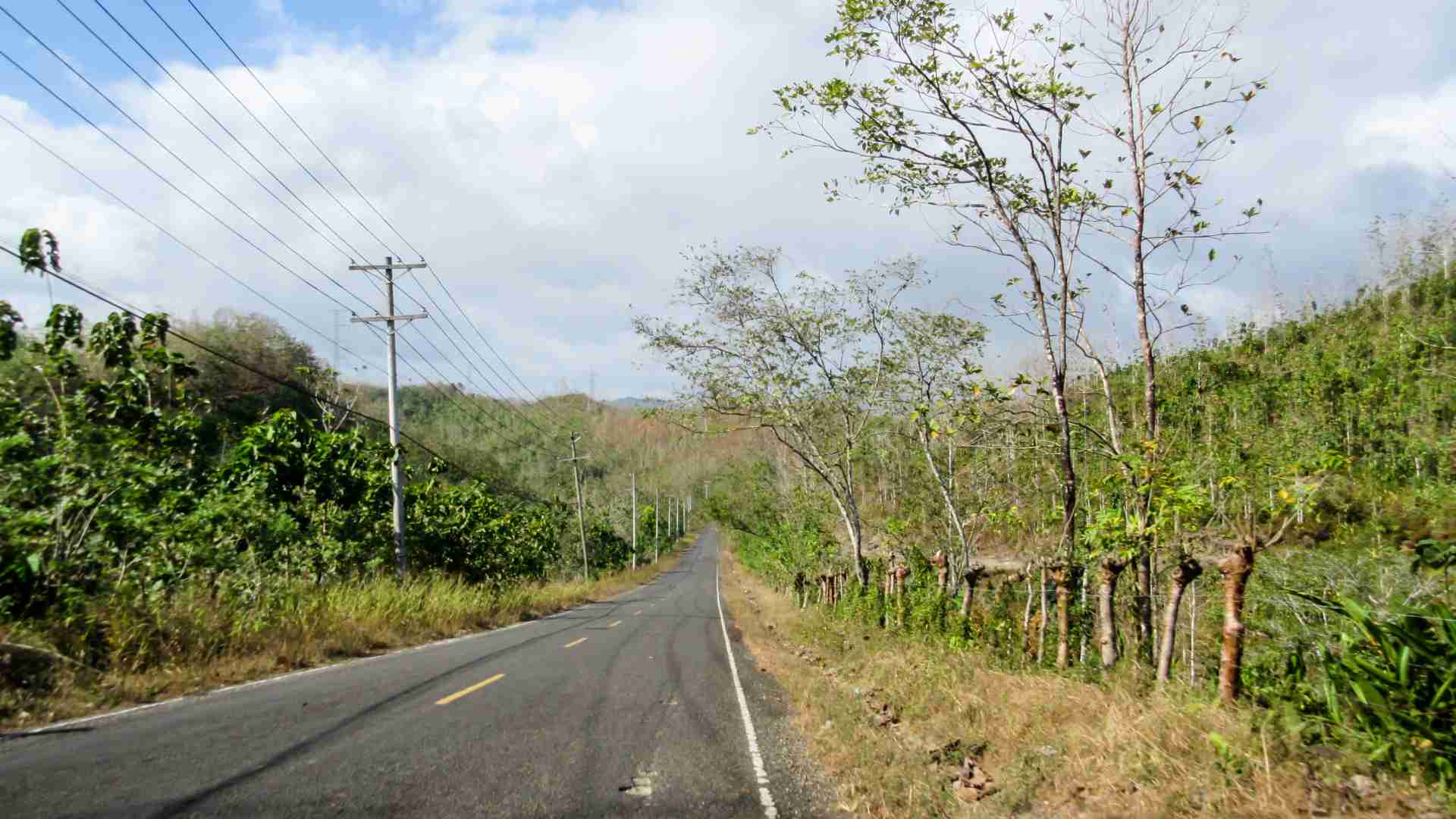
Yaviza remains the last dependable point reached by the established Pan-American Highway from Panama.A new road project is extending local access toward Pinogana and El Real, but its purpose is to connect communities within Darién rather than approach Colombia.
Beyond Yaviza, minor roads, tracks, rivers, settlements and long forest paths continue southeast, suggesting a gradual transition from asphalt to unpaved road, then to track, river and footpath. In reality, these elements form separate local corridors rather than one progressive route.
Toward Boca de Cupe and Cana
One of the longest apparent interior penetrations follows the upper Tuira region toward Boca de Cupe. Digital maps show minor roads and tracks beyond the established highway, but there is no reliable confirmation of a continuous public road that an ordinary traveller can drive from Yaviza to Boca de Cupe. Official planning documents instead place the settlement within a river-based system serving communities along the Tuira and Paya rivers.
South of Boca de Cupe, a rough line continues toward Bajo Lepe and appears to become a long forest path through the upper river valleys toward Cana. Its precise condition cannot be established from the map alone: different sections may be muddy local tracks, community paths or older routes partly reclaimed by vegetation.
Its apparent continuity has a historical explanation. In the early twentieth century, a narrow-gauge railway approximately 50 kilometres long linked the navigable river at Boca de Cupe with the Cana gold mines. The railway later disappeared, but parts of its alignment survived as a trail.
Cana is now a remote former mining site and park station rather than a settlement on the way to Colombia. Access has historically depended on aircraft or difficult internal movement, and beyond the station the mapped path soon fades into the mountainous forest of the Serranía de Pirre. The Boca de Cupe–Cana corridor shows how far historical and local movement can penetrate the Darién, but it ends inside the mountains before reaching Colombia.
Along the Upper Tuira toward Paya
A second corridor leaves the road system earlier and follows the Tuira by water. Boats can continue past small river communities toward the Río Paya and the village of Paya inside Darién National Park. This is already a multimodal journey: people, supplies and limited cargo may proceed by canoe or motorboat, but an ordinary vehicle cannot move independently.
From Paya, recorded GPS tracks confirm a forest route eastward to the international boundary at Palo de las Letras. Published tracks vary, with the full out-and-back journey reported at roughly 33–34 kilometres. The boundary marker itself is officially documented and has been inspected and reconstructed through binational work.
The path occupies a lower corridor between the Serranía de Pirre to the south and the higher Tacarcuna system to the north. It is not an open pass, but forested terrain crossed by streams and disconnected from maintained roads.
Palo de las Letras also featured in historical studies for a possible Pan-American Highway alignment. Engineers examined how a future road might descend toward the Cacarica basin, cross the Atrato wetlands and eventually join the Colombian network. Their work required helicopter-supported reconnaissance and extensive geophysical and soil investigations in the swamp foundations: it identified a possible engineering line, not an existing road.
The route reaches the political frontier only at an isolated marker, with no authorized immigration or customs post. Thus the two interior corridors fail in different ways: Boca de Cupe–Cana disappears before the border, while Tuira–Paya reaches the boundary at a point where international movement cannot be processed. Neither provides vehicle continuity, legal processing and connection with Colombia’s road network.
Approaching the Gap from Colombia
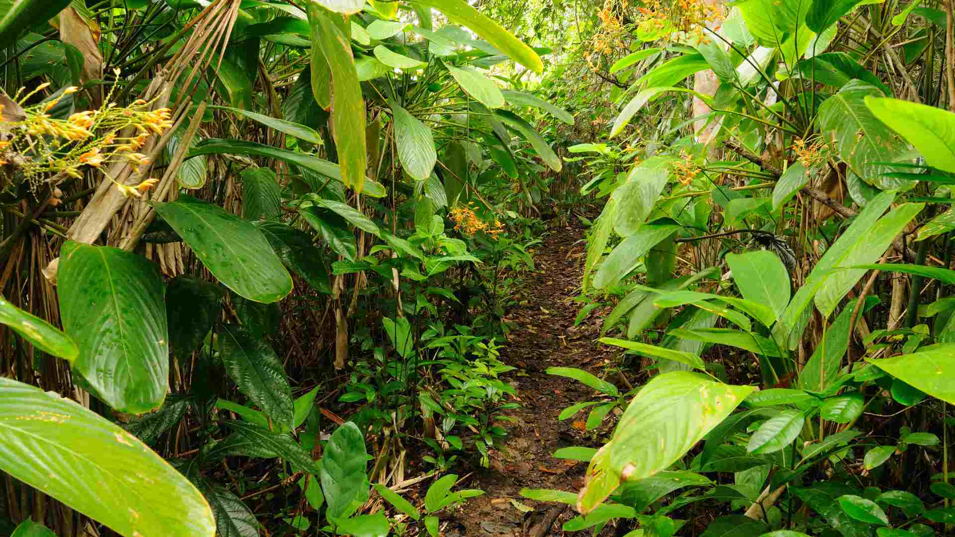
The Colombian side has no single road end equivalent to Yaviza. Instead, the connected network gradually weakens toward the lower Atrato basin and dissolves into waterways and isolated local links. The main road from Medellín reaches Urabá through Dabeiba, Mutatá, Chigorodó and Apartadó before continuing toward Turbo and Necoclí, the last region where the South American road journey remains fully connected.
A secondary road corridor has been developed northwest through Belén de Bajirá toward Riosucio, although its current condition should be checked before travel. It gives vehicles access to the lower Atrato basin, where Riosucio acts as a transition point between peripheral road access and the region’s dominant river-transport system—not as the place where the Pan-American Highway resumes.
Beyond Riosucio
Beyond Riosucio, no connected road continues toward Panama. The Atrato and tributaries such as the Cacarica, Salaquí and Truandó become the main lines of movement. Short road-like fragments may connect houses, cultivated areas and landings, but they do not form a regional through-route.
The geographical sequence is therefore:
connected highway → peripheral road → major river → tributary → settlement → forest path
Each stage requires a new transport mode, and the system becomes less formal as it approaches the frontier.
The flat appearance of the Atrato plain is misleading. Much of it consists of soft alluvial ground, periodically flooded forest, swamps, channels and permanent wetlands. A road would require raised foundations, drainage, bridges and continual maintenance; rivers form a connected transport network precisely because the ground does not.
Toward the upper Cacarica basin and western Los Katíos, even local fragments become sparse. River and foot movement may continue toward the watershed and the Panama border, while farther south the terrain rises into the Serranía del Darién and the mountain systems of Pacific Chocó. Maps show settlements, clearings and possible paths, but many are connected by river, air or local foot movement rather than roads.
A person could potentially continue northwest by combining boats and walking. Historical road surveys followed a similar logic from the Atrato and Cacarica lowlands toward Palo de las Letras, but the corridor remains a physical possibility rather than an existing road or authorized international route.
The Road Does Not Lead to the Border Crossing
The interior approaches from both countries produce the same contradiction: they carry movement deep into the Darién and sometimes reach the international boundary, but not the coastal locations where the border can be processed legally. The official crossing points belong to separate maritime systems.
The Caribbean Side
Puerto Obaldía has no road connection with the rest of Panama, and nearby Capurganá is likewise separated from Colombia’s road network. The most established Panamanian approach turns away from the Pan-American Highway long before Yaviza: the El Llano–Cartí road crosses the mountains to the Caribbean coast, after which organized or locally arranged coastal journeys may continue east through Guna Yala and, when available and authorized, toward Puerto Obaldía. This is maritime movement around the gap, not a land extension through it.
Northern Darién and the lower Tacarcuna region also suggest harder expedition possibilities. Local paths around Puerto Obaldía, Armila and La Miel confirm that short sections can be travelled on foot, but no continuous terrestrial corridor has been confirmed between Panama’s road network and Puerto Obaldía. Such a line would combine local paths, river valleys and mountain passages through roadless terrain and must be treated as an expedition hypothesis.
On the Colombian side, roads reach Turbo and Necoclí, from which boats connect with Capurganá, Sapzurro and Acandí. Recorded paths permit limited terrestrial movement within this isolated coastal zone, but they can preserve only the movement of a traveller or light equipment, not a road vehicle.
The Pacific Side
Puerto Jaqué and Juradó form the Pacific equivalent. Both depend on boats or aircraft and lie outside their national road systems. Mangroves, rivers, forest and exposed coast make this alternative more fragmented than the Caribbean one; no confirmed continuous overland line connects the two settlements with Yaviza, Riosucio or the national roads behind them.
Several Systems, Not One Route
The legal border points are reachable, but not by simply continuing forward from the interior roadheads. On the Caribbean side, the practical sequence is approximately:
Panama road network → Cartí or another coastal node → maritime or expedition movement → Puerto Obaldía → Capurganá → boat to Necoclí or Turbo → Colombian road network
The Pacific alternative requires an even earlier departure from the road system and movement toward Jaqué or Juradó by sea, air or a much less established expedition corridor.
The interior approaches show how far roads, rivers and paths penetrate; the coastal approaches show where international movement can be processed; and the two do not join into one continuous road. Most travellers therefore leave one road network and join another after travelling by sea or air.
An expedition traveller may attempt to preserve more direct geographical continuity through rivers, paths and roadless terrain. Several lines remain physically conceivable even where their current condition is uncertain, but any legal international crossing must be processed at an authorized migration point; an interior line does not itself authorize passage across the boundary. The map reveals not one route through the Darién, but several movement systems, each solving only part of the journey.
Practical Considerations
A line that appears geographically possible is not automatically a route that can be attempted in practice. In the Darién, every corridor is shaped by protected-area rules, Indigenous governance, security conditions, transport limitations and the near absence of ordinary infrastructure. Turning a theoretical line into an organized journey requires permissions, local coordination, seasonal timing, transport, equipment, food, communications, medical preparation and several possible exits.
Permissions, Protected Areas and Administrative Planning
The international border is not the only administrative layer affecting an expedition. A route may cross a national park, an Indigenous territory, a community-managed area or a sector subject to temporary security restrictions. The intended GPS line must therefore be compared with current boundaries and zoning, because park permission does not replace community consent, and neither necessarily replaces security clearance.
Panama
In Panama, ordinary visits to authorized parts of Darién National Park can be arranged through the national protected-area system, but this does not permit an independently designed crossing. The park includes public-use areas and more restricted conservation sectors. Because its boundaries were updated in 2026, older route and zoning maps are not sufficient on their own, and an expedition should submit its exact line to MiAMBIENTE.
Entry into non-public sectors would require written authorization from MiAMBIENTE. Scientific work follows a formal permit process, while documentary, cartographic or conservation activities should be confirmed directly with the ministry for the exact route and purpose. Any application may need to describe the participants, dates, coordinates, camps, equipment, environmental impact, filming and emergency arrangements; approval cannot be assumed merely because the route is presented as an adventure.
Indigenous territories require a separate process. Routes through Guna, Emberá, Wounaan or other community-controlled lands may need the consent of regional congresses, local authorities, caciques or community leaders. The correct authority depends on the territory, and a guide, boat operator or welcoming village cannot necessarily authorize passage through the wider area.
Colombia
On the Colombian side, Los Katíos National Natural Park is currently closed to normal public visitation. Colombia has formal procedures for scientific research, environmental studies and audiovisual work inside national parks, but applications require advance submission and may take several working weeks even when complete. Consultation or route changes can extend the process.
Boats, porters, accommodation, guides and minor adjustments may be arranged locally. Entry into closed parks, strict conservation zones or Indigenous territories cannot safely be left until arrival, and immigration cannot be improvised at an interior border marker. An expedition crossing several jurisdictions should be planned in months, with a precise route, purpose, movement methods, camps, community contacts, communications, evacuation points and the authorized migration post. Written territorial or environmental permission remains separate from migration authorization; until all relevant approvals are confirmed, the line is only a conditional possibility.
Local Communities, Cultural Landscapes and Human Threats
The Darién is not a jungle inhabited mainly by smugglers and armed groups. It is the homeland of Indigenous, Afro-descendant and other rural communities whose rivers, settlements and paths form much of the region’s human geography. In Panama these include Emberá, Wounaan and Guna communities; across the border, Wounaan, Emberá-Katío, Tule or Guna, Afro-Colombian and campesino communities inhabit the Cacarica, Atrato and Urabá regions.
Their settlements combine traditional knowledge with modern institutions, outboard motors, schools, health posts and commercial links, while fishing, agriculture, forest products, trade, basketry, beadwork and woodcarving remain part of living social and economic systems. Hospitality should never be assumed as an entitlement or a substitute for prior coordination.
Local people may hold the best information about river levels, landings, floods, landslides, abandoned paths, security conditions and which lines visible on a map still exist. Their participation should be planned and paid for rather than treated as emergency improvisation. Small communities may have limited supplies, and in many areas their boats, paths and knowledge are the only reason a usable movement system exists.
Crimes
Criminal networks form a different human layer. Border rivers, coasts and forest corridors have been used for drug trafficking, migrant smuggling, arms movement and other illegal economies, often harming the communities themselves. Panama maintains a comparatively visible SENAFRONT presence, while parts of Chocó and Urabá may be affected by less visible territorial control from armed organizations. A quiet river or normal-looking settlement can lie within an area governed by unofficial checkpoints, schedules or permissions.
Cameras, GPS devices, drones or satellite equipment may attract suspicion, and official environmental or community permits do not guarantee acceptance by an armed actor. Migration corridors should not be treated as expedition infrastructure: their lines change with enforcement, river conditions and smuggling networks, and they have been associated with robbery, extortion, abandonment, sexual violence and death.
Human risk is route-specific and time-sensitive. Conditions should be checked immediately before departure and during the journey through authorities, recognized community leaders, guides, boat operators and residents of the next settlements. A current warning that a corridor is closed, controlled, mined or disputed should outweigh an old GPS track. The objective is to establish legitimate local relationships while avoiding sectors where criminal control makes them insufficient.
Transport and Logistics Across the Route Break
Transport cannot be planned as one continuous movement. The traveller, vehicle and equipment normally separate before the gap. A vehicle may reach Yaviza for documentation, but must return toward the freight terminals around Colón; a passenger following the Caribbean coast leaves the road at Cartí; and on the Colombian side the useful road-connected nodes are Cartagena, Medellín, Apartadó, Turbo and Necoclí. Riosucio serves an interior river approach, not a route to Capurganá.
Cars, vans, expedition trucks
For cars, vans and expedition trucks, the port pairing commonly used by overlanders is:
Colón or Manzanillo, Panama → Cartagena, Colombia
The main options are a private or shared container, Ro-Ro shipment, or flat-rack transport for vehicles that do not fit in a container. Containers may provide greater control over access; Ro-Ro accepts larger vehicles but usually requires the owner to hand over the keys and remove loose valuables; flat racks solve dimensional problems but expose the vehicle to more handling and weather.
No regular passenger-and-vehicle ferry is currently documented, so freight and passenger movement must be arranged separately. The vehicle must leave Panama under the correct customs status and receive temporary tourist admission in Colombia. An agent may coordinate the booking, bill of lading, inspections and terminal release, but the owner remains responsible for the legal status. Release in Cartagena may take several days or longer, requiring accommodation, local transport, port funds and essential equipment carried with the traveller. Travellers waiting for vehicle release can compare accommodation options in Cartagena before arrival. These additional expenses should be calculated as part of the route system rather than treated as incidental costs, as explained in this guide to estimating the real budget of an overland route.
Motorcycles and bicycles
Motorcycles can move in a container, by Ro-Ro, on an air-freight pallet or on a properly documented commercial vessel. Air freight from Panama City is one commonly used option, while maritime acceptance and small-vessel services must be verified directly; an informal fishing boat does not satisfy customs requirements. Bicycles are easier to transfer as airline baggage, boat cargo or expedition loads, but carrying a bicycle through the gap is not the same as cycling through it.
For passengers avoiding air travel, the Caribbean side offers the clearest maritime sequence. Organized and locally arranged coastal journeys can begin around Cartí and continue east through Guna Yala toward Puerto Obaldía and Capurganá, but availability, routing, immigration arrangements and weather must be verified close to departure. Such journeys may involve several stages and overnight stops. From Capurganá or Sapzurro, authorized passenger craft reconnect with Necoclí or Turbo. Current ferry options between Capurganá and Turbo can be compared and booked online. The Pacific alternative through Jaqué and Juradó is more fragmented and depends on boats or limited air access.
River movement
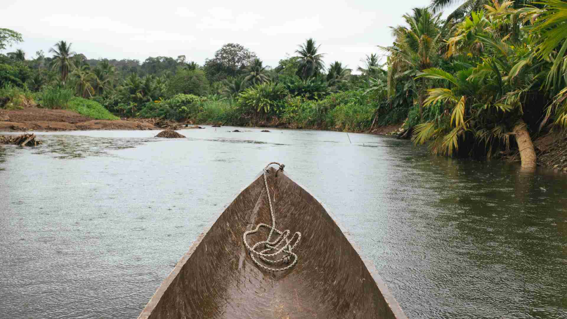
Inside the Darién, rivers are often the route rather than obstacles beside it. Motorized canoes connect roadheads with settlements and carry people, fuel and equipment farther than vehicles can travel. The Tuira and its tributaries serve this role in Panama; the Atrato, Cacarica and related waterways do so in Colombia.
River movement commonly follows a chain such as:
road vehicle → landing point → motor canoe → smaller tributary or footpath → next settlement
A boat suitable for a major river may not enter a shallow tributary. Low water exposes rocks and sandbars; high water creates stronger currents, debris and difficult landings. Fuel availability must be confirmed because a mapped village does not guarantee enough petrol for an outboard motor.
Where navigable water ends, movement continues on community paths, old mining or patrol trails, riverbanks, ridges and sometimes terrain without a visible trail. Equipment may need to be divided among porters or moved in stages; a machete can assist on an existing line but does not turn uninterrupted forest into an efficient route.
The crossing succeeds logistically only when its separate movements are reassembled. A traveller arriving through Capurganá may continue by boat and road before meeting a vehicle released in Cartagena, while heavy equipment may remain with the vehicle and essential medical, navigation and camping systems stay with the traveller. Each component needs its own documents, schedule, fallback and reunion point.
Do not expect the traveller, vehicle and equipment to follow the same route or arrive on the same day.
Climate, Seasons and Changing Route Conditions
There is no single best season for every Darién corridor. The region combines Caribbean and Pacific weather systems, floodplains, rivers, mountains and exposed coasts. Conditions that improve one section may make another more difficult.
On Panama’s Pacific side, the main rainy period generally extends from May to November, with December to April comparatively drier. The Caribbean side has a weaker dry-season distinction, while the Colombian lowlands remain warm, humid and very rainy through much of the year. December to March may improve some interior routes in Panama, but it is not a dry-jungle season: shaded soil remains wet and the Atrato lowlands may stay flooded or waterlogged.
Different corridors require different compromises. Mountains benefit from less saturated soil; floodplains become less inundated but may turn into deep mud; rivers need enough water for navigation without dangerous currents; and coastal travel depends on wind, waves, surf and landing conditions as much as rainfall.
High water
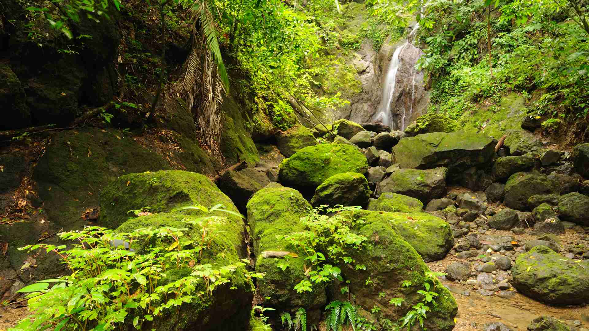
High water may allow boats to pass shallows and travel farther upstream, but it also brings stronger currents, debris and more dangerous landings. Low water can expose sandbars, rocks and blocked tributaries. Seasonal change also alters the route itself as banks collapse, channels migrate, crossings disappear and vegetation closes little-used paths. In the mountains, accumulated rain produces slippery roots, erosion, swollen streams, landslides and fallen trees.
A functional forest route can still be interrupted because small boats cannot leave an exposed beach or cross rough water. Daily progress should therefore be estimated as a range rather than from distance alone: a short section may involve repeated river crossings, detours, deep mud or hours spent locating a landing.
The expedition window should combine long-term rainfall patterns with current forecasts and hydrological alerts, recent reports from communities and boat operators, trail conditions, sea state and possible park closures. The goal is not a month without rain, but a period in which the selected combination of rivers, ridges, wetlands and coast remains manageable.
Expedition Skills, Equipment and Life in the Forest
After roads and navigable rivers end, the journey becomes sustained expedition movement along community paths, partially lost tracks, ridge crossings and occasional off-trail sections.
Navigation
A GPS line shows direction and terrain relationships; it does not prove that a trail exists. Navigation should combine offline maps, satellite imagery, a dedicated GPS device, compass and redundant coordinates. Local guides remain essential where paths divide, disappear or lead only to fields and river landings.
Equipment
Equipment must work across several transport modes. A pack manageable on a trail may be too heavy to lift into a narrow canoe, so loads should be modular, waterproof and divisible, with documents, electronics, medical supplies and dry clothing protected independently. A rain cover alone is not enough where equipment may lie in water or mud.
The objective is not to remain completely dry, but to keep wet conditions from stopping the expedition. Clothing should remain functional when wet, with dry camp layers sealed separately. Footwear must balance grip, protection, drainage and repeated immersion; local experience on the exact route is more useful than one universal recommendation.
Shelter
Shelter must provide rapid protection from rain, insects and saturated ground. A hammock with mosquito net and large fly may suit flooded or steep forest, while a tent may work better on beaches, airstrips or maintained sites. Camps must be above flood marks, away from unstable banks and dead branches, and capable of being abandoned quickly if water rises.
Water
Water is abundant but not automatically safe. The expedition should carry at least two treatment methods, such as filtration followed by chemical disinfection, with boiling available when practical. Silty water may block filters, and streams may be absent on ridges even in a saturated landscape.
Food
A mapped settlement does not guarantee a shop or dependable resupply. Food should be energy-dense, humidity-resistant, simple to prepare and divisible among boats and porters. Community resupply should be arranged and paid for in advance, with extra food and stove fuel covering delays caused by weather, lost paths or unavailable boats.
The daily rhythm should preserve the ability to move again rather than maximize distance. Time is needed to confirm the route, wait for transport, treat water, repair equipment and establish camp before dark. Self-sufficiency means remaining functional when support is delayed while relying responsibly on local guides, communities and boat operators. Detailed equipment choices belong in the separate JBH guide to hot, wet and roadless terrain; here every item must justify its weight through movement, shelter, water, food or navigation.
Health, Wildlife, Communications and Emergency Planning
In the Darién, a minor illness or injury can become serious because professional treatment may be several boat journeys or days away. Medical preparation and evacuation logic must therefore be part of the route from the beginning.
Tropical diseases
A remote expedition requires travel-medicine advice based on the countries, dates, river basins, walking duration and distance from care. Yellow fever, malaria and other regional diseases require current route-specific guidance, while routine vaccinations, tetanus protection, hepatitis, typhoid and possibly pre-exposure rabies vaccination may also be relevant. At least one team member should have practical wilderness first-aid training.
The medical kit should reflect the group size and realistic evacuation delay. Prescription medicines should be selected with a clinician, while allergies, chronic conditions, regular medication, emergency contacts, insurance information and vaccination records should exist both offline and on paper.
Mosquitos
The most persistent risks are often heat, moisture and cumulative damage rather than dramatic animal attacks. High humidity, heavy loads and prolonged exertion increase dehydration and heat illness, while immersion and wet footwear can turn small cuts or blisters into disabling infections. Mosquito protection is required by day and night, and ticks, flies, ants, wasps, hornets, spiders and scorpions can cause infection, sleep loss or severe allergic reactions.
Snakes
The region supports venomous snakes, caimans, crocodilians and large mammals, but most wildlife risk is managed through behaviour: use a light after dark, inspect footwear and bedding, avoid reaching blindly into vegetation, control food and waste, and watch riverbanks and fallen trees. Unknown plants may also injure through thorns, sharp palms or irritating sap; experimental foraging should not be part of the food plan.
A suspected venomous snakebite is an evacuation emergency. The casualty should be kept still, the limb immobilized and tight items removed before swelling develops. Cutting, suction and tight arterial tourniquets can worsen the injury; antivenom is generally a hospital treatment, not an expedition self-treatment tool.
Mobile coverage
Mobile coverage may exist around larger towns and some coastal or river settlements, but should be assumed to disappear in the roadless interior. Phones remain useful for offline maps and documents but are not sufficient as the only emergency system. A satellite messenger, satellite phone or appropriate radio should be tested before departure, with scheduled check-ins, an outside contact who understands the route, a deadline for missed messages and independent power.
An emergency signal does not guarantee a helicopter. Dense forest, cloud, security restrictions and the lack of landing sites may delay or prevent aviation. Every section therefore needs a physical extraction plan: return along the same path, descend to a navigable river, reach a community, move toward a park station or airstrip, and continue by boat to a roadhead or coastal settlement. The closest point on a map may not be the fastest exit, and airstrips at Cana, Jaqué or Puerto Obaldía do not guarantee an aircraft, fuel, permission or suitable weather.
Insurance
Insurance should be checked for the actual expedition profile because some policies exclude remote expeditions, restricted areas, travel against official advice, undocumented boats or armed-conflict zones. The team must also define when to stop or change the route: serious foot damage, fever, persistent vomiting or diarrhoea, heat illness, snakebite, loss of communications, boat-engine failure, unexpectedly high rivers, injury to a guide, insufficient supplies or closure of the exit point.
A route can remain geographically possible while becoming medically or operationally unacceptable. A resilient plan combines medical preparation, local knowledge, redundant communications and several ways back toward inhabited transport corridors. In the Darién, emergency readiness is what prevents a difficult line from becoming a trap.
Conclusion
The Darién Gap is often described simply as the place where the Pan-American Highway ends. That is correct, but the absence of a road explains only the most visible part of the break.
The region is not empty or entirely impassable. Roads approach from both countries, rivers carry people and supplies into the interior, coastal boats connect isolated settlements, and local paths continue through forests and mountains. What is missing is a continuous, legally usable and vehicle-capable corridor linking the road systems of Central and South America.
From Panama, the highway reaches Yaviza, but the interior routes beyond it do not lead to an authorized crossing. From Colombia, the connected network reaches Urabá and extends more weakly toward the lower Atrato before dissolving into rivers, wetlands and local paths. The official migration points lie instead on the Caribbean and Pacific coasts.
Most overland travellers therefore divide the journey: the vehicle is shipped, commonly through the Colón port system and Cartagena subject to current carrier schedules, while the traveller crosses separately by air or sea. Motorcycles and bicycles allow additional transfer options, but do not restore the missing road.
An expedition traveller may preserve geographical continuity through rivers, canoes, local paths and movement on foot, but such a line cannot simply be downloaded and followed. It must be reconstructed from current terrain, community knowledge, official permissions and security information.
The Darién is neither an impossible wilderness nor an informal trail replacing the highway. It is a fragmented transport landscape in which one continental journey becomes several separate movements before being assembled again on the other side.
The road ends, but movement continues—not as a provided route, but as a geographical problem that must be solved.
Like it? Pin it here⇓! Follow us on Facebook, X and Instagram!
You may also like



Hi, we are Krasen and Ying Ying. Krasen is from Bulgaria, and Ying Ying is from China. We are passionate about geography and history, and we believe that the best way to experience it is by exploring the Earth in reality, not in a school, and not virtually.
So, we created this blog Journey Beyond the Horizon, where we share geographical knowledge, travel guides and tips how to experience it when you explore our planet, and a lot of inspiration.
And we wish you a happy journey, not just virtually, but most of all- in reality.
Enjoy!
Krasen and Ying Ying
Hi, we are Krasen and Ying Ying. Krasen is from Bulgaria, and Ying Ying is from China. We are passionate about geography and history, and we believe that the best way to experience it is by exploring the Earth in reality, not in a school, and not virtually. So, we created this blog Journey Beyond the Horizon, where we share geographical knowledge, travel guides and tips how to experience it when you explore our planet, and a lot of inspiration. And we wish you a happy journey, not just virtually, but most of all- in reality. Enjoy!

