
Tibet is not a simple place to define on a map.
For some travellers, it means the Tibet Autonomous Region. For others, it means the wider Tibetan Plateau, the old cultural regions of U-Tsang, Kham and Amdo, or the broader Himalayan world shaped by Tibetan Buddhism, highland routes and related peoples.
So, for overland planning, this distinction matters. A road may cross the plateau, but that does not mean the route is open. Some parts of Tibet function as access-controlled travel space. Others can be reached much more independently. Borderlands, monasteries, protected areas and politically sensitive regions can change the picture again.
This article looks at Tibet as a route reality: terrain, culture, administration, permits, borders and practical movement layered on top of each other.
Table of Contents
What Is Tibet?
Tibet Is Not Only the TAR
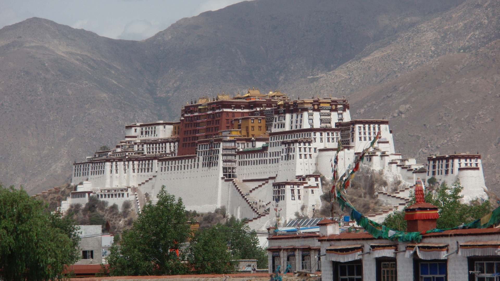
Tibet is often imagined through the Tibet Autonomous Region: Lhasa, the Potala Palace, the north side of Everest, Mount Kailash, high passes, monasteries and wide plateau roads.
That version is real, but it is not the whole picture.
The Tibet Autonomous Region is the clearest “Tibet” on modern political maps, but Tibet in a wider geographic and cultural sense extends beyond that administrative boundary. It is better understood as a highland world centred on the Tibetan Plateau, shaped by altitude, pastoral movement, mountain corridors, Tibetan Buddhism, Tibetan languages and related Himalayan cultures.
The first is administrative Tibet: the Tibet Autonomous Region inside China. The second is geographic Tibet: the Tibetan Plateau, or Qinghai-Tibet Plateau, which reaches far beyond the TAR into Qinghai, western Sichuan, parts of Gansu, northwest Yunnan and the high northern rim toward the Kunlun and southern Xinjiang. The third is cultural Tibet: the traditional Tibetan regions of U-Tsang, Kham and Amdo, together with wider Tibetic and Himalayan cultural zones connected through language, religion, trade, pastoral life and mountain geography.
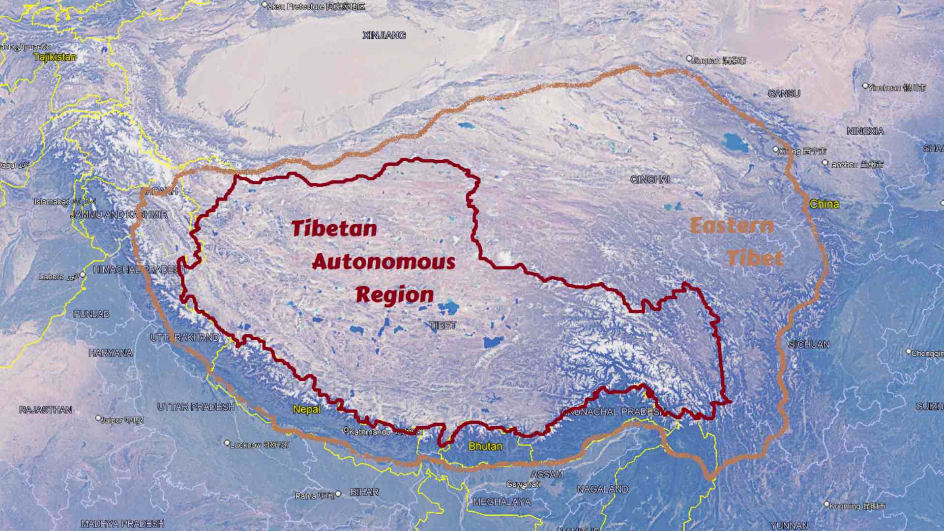
Wider Tibet
Inside China, this wider Tibetan world includes the TAR, much of Qinghai, Tibetan areas of western Sichuan, parts of Gansu and northwest Yunnan. The southern edge of Xinjiang is more complicated. Around the Kunlun, Aksai Chin and the northern plateau rim, the land belongs strongly to the Tibetan Plateau as terrain, but not always to the core Tibetan cultural world.
Beyond China, Tibetan and related Himalayan cultures continue into places such as Ladakh, parts of Himachal Pradesh and Uttarakhand, Sikkim, parts of Nepal, Bhutan and Baltistan. These places should not be flattened into one single identity, but they belong to the broader highland world shaped by Tibetan Buddhism, Tibetic languages and Himalayan route systems.
For route planning, this distinction matters. If a traveller says “Tibet”, they may mean the TAR. They may mean the wider plateau. They may mean Tibetan areas of western Sichuan or Qinghai. Or they may mean the Himalayan Buddhist world beyond China.
Which Tibet?
The Tibetan Plateau as Terrain
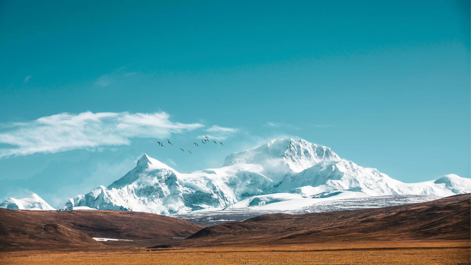
The Tibetan Plateau is not a flat tableland with one clean edge.
The word “plateau” can be misleading here. Tibet is not a flat upland plain but a vast lifted system of basins, grasslands, interior ranges, salt lakes, river headwaters, cold deserts and deep valleys, much of it above 4,000 metres. Some parts feel open and almost horizontal; others are broken by gorges or by mountains rising from an already high base level.
Its edges matter for routes. To the east, the plateau drops sharply toward the Sichuan Basin. To the north, the Kunlun separates the high plateau from the Tarim Basin and southern Xinjiang. Then, to the south, the Himalaya form the great wall toward the Indian subcontinent, though the transition is made of crests, inner valleys, trans-Himalayan zones and foothills rather than one simple line. And to the southeast, the plateau breaks into the Hengduan Mountains and the upper Yangtze, Mekong and Salween corridors.
This is why the Tibetan Plateau matters for route planning. It is not only a high place. It is part of the wider Greater Ranges system, аnd it holds the headwaters of major Asian rivers, blocks and redirects climate systems, creates long altitude corridors, and forms natural barriers between China, Central Asia, South Asia and Southeast Asia.
A route across Tibet is never just a line across empty highland. It is movement through one of Asia’s largest terrain systems.
The Tibetan Cultural World
The cultural map of Tibet is not the same as the physical map of the Tibetan Plateau.
The core Tibetan world is usually described through three traditional regions: U-Tsang, Kham and Amdo. U-Tsang is the central Lhasa-Shigatse heartland. Kham lies to the east and southeast, across parts of today’s eastern TAR, western Sichuan, southern Qinghai and northwest Yunnan. Amdo lies to the northeast, mostly across Qinghai, with parts of Gansu and northern Sichuan. These regions explain cultural geography better than the modern provincial map because Tibetan life spread through valleys, monasteries, pastoral zones, trade routes and local polities long before today’s boundaries.
Beyond the core
Beyond this core, related Tibetic and Himalayan worlds continue into Ladakh, Zanskar, Baltistan, parts of Nepal, Sikkim and Bhutan. These places may share language, religion, architecture, trade history or highland culture with Tibet, but they should not be flattened into one identity. Bhutan, for example, belongs to the wider Himalayan Buddhist world but developed as its own kingdom. Ladakh and Baltistan are connected to western Tibetan history, but they now sit inside different state systems.
Along the eastern and southeastern edges, Tibet fades into mixed highland zones of Sichuan, Yunnan and the Hengduan Mountains. Some neighbouring peoples have Tibetan Buddhist influence or broad Sino-Tibetan linguistic links; others connect more strongly with local, Chinese or Southeast Asian mountain systems. The result is not a clean cultural border but a gradient.
For overland travel, this matters because cultural Tibet, geographic Tibet and administrative Tibet do not align perfectly. A road may leave the TAR but remain culturally Tibetan. Another road may stay on the plateau but pass into a non-Tibetan frontier. A Himalayan valley may feel strongly Tibetan Buddhist but belong to Nepal, India or Bhutan. A Yunnan mountain town may contain Tibetan monasteries, Naxi villages, Lisu valleys and Chinese administrative structures within the same route corridor.
Tibet, in this sense, is not only a territory. It is a cultural field that becomes stronger or weaker depending on altitude, language, religion, history and direction of travel.
Tibet in Modern Administrative Terms
The clearest political unit is the Tibet Autonomous Region of China. This is the region marked as “Tibet” on most modern maps, and it includes Lhasa, Shigatse, Ngari, Mount Kailash, the north side of Everest, large parts of the Changtang and many of the best-known Tibetan routes and monasteries.
Inside China, Tibetan autonomous prefectures and counties are found in Qinghai, western Sichuan, Gansu and northwest Yunnan. Qinghai contains much of Amdo and the northern plateau. Western Sichuan contains major Kham and Amdo areas, including Garze/Ganzi and Aba/Ngawa. Gansu includes Gannan and Tianzhu. Northwest Yunnan includes Diqing, around Shangri-La and Deqin. A traveller can therefore be outside the TAR but still be in a strongly Tibetan cultural landscape.
Some plateau-edge areas are different again. Southern Xinjiang, the Kunlun, Aksai Chin and the northern plateau rim belong physically to the Tibetan Plateau system, but not always to the core Tibetan cultural world. Beyond China, Tibetic cultural zones fall under India, Nepal, Bhutan and Pakistan. Their access rules are shaped by those states, not by the TAR system.
Near borders, the administrative layer becomes decisive. Some borders are stable but still sensitive in practice. Others are disputed or not fully settled, including Aksai Chin and Arunachal Pradesh / South Tibet terminology. For overland planning, these are not ordinary open borderlands but highland frontiers where terrain, military infrastructure, ethnic zones and state claims overlap.
For overland planning, “Tibet” is therefore not one access category. It can mean the TAR, Tibetan autonomous areas outside the TAR, plateau-edge regions, neighbouring Himalayan states, or disputed borderlands. Each layer has its own rules, risks and route limits.
How Tibet Reached Its Current Route Situation
Tibet’s current access system did not appear from nowhere.
It is the result of geography, history, border politics, administrative division and modern security logic layered on top of each other. To understand why a road across Tibet may exist but still not function as an open overland route, the background matters.
For a short period in early medieval history, Tibet was an imperial power. After the Tibetan Empire collapsed in the 9th century, the Tibetan world fragmented into regional powers, monastery networks, local rulers, pastoral zones and frontier polities. This matters because the later Tibetan cultural world was wider than the area controlled consistently from Lhasa.
Under the Qing
U-Tsang and Ngari formed the central and western core of political Tibet. Kham and Amdo remained culturally Tibetan, but often followed different administrative paths through Sichuan, Qinghai, Gansu, Yunnan, Mongol, Hui and Inner Asian worlds. Under the Qing, the Republican period and later the People’s Republic of China, these divisions hardened. When the TAR was created in 1965, it formalised a narrower administrative Tibet rather than all Tibetan cultural areas.
Under the Qing, and later during the Republican period, these divisions hardened. The idea of a “Tibet Area” in Chinese administration referred mainly to central and western Tibet, not to the whole Tibetan cultural world. Parts of Kham and Amdo were already connected to Qinghai, Sichuan, Gansu and Yunnan. When the People’s Republic of China later created the Tibet Autonomous Region in 1965, it did not draw the boundary around all Tibetan cultural areas. It formalised a narrower administrative Tibet centred on Lhasa, U-Tsang, Ngari and parts of western Kham. The rest of the Tibetan world inside China remained outside the TAR, organised instead as Tibetan autonomous prefectures and counties in Qinghai, Sichuan, Gansu and Yunnan.
Borderlands and empty plateau zones added further limits. To the west and southwest, Tibet meets Ladakh, Aksai Chin, the Karakoram and the India-China frontier. To the southeast, the Arunachal/South Tibet dispute continues. And to the north and northwest, Xinjiang connects to Tibet through the Kunlun, Aksai Chin and western plateau routes. Changtang, Kekexili/Hoh Xil and other northern highland zones add protected landscapes, military sensitivities, extreme altitude and almost no support points.
Then came the modern travel system.
Modern travel regulations in Tibet
Foreign travellers needed permits for Tibet before 2008, but access was looser in practice. Independent or semi-independent overland travel was still possible in some periods, including routes from Sichuan or Yunnan toward Lhasa. The 2008 unrest in Lhasa changed the practical regime. Tibet was closed to foreign travellers for several months, and after reopening, the TAR increasingly became an organised-access travel space: permit, licensed agency, guide, fixed itinerary and route approval.
This did not create the Tibet Travel Permit from nothing. It tightened the system and made independent movement far less realistic.
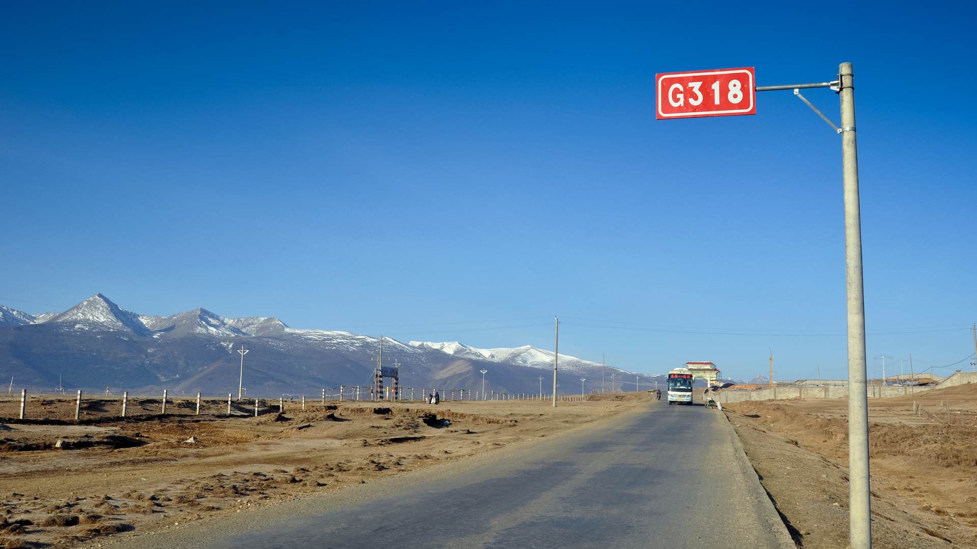
For overland routes, Chamdo shows the problem clearly. Chamdo lies on the eastern edge of the TAR, in the Kham region, and sits directly on one of the great overland corridors into Tibet: the Sichuan-Tibet Highway, including the G318 route from Chengdu toward Lhasa. On a map, this is one of the most natural Eurasian overland lines. It connects the Sichuan Basin, eastern Tibetan valleys, high passes, Lhasa and the wider plateau.
But Chamdo is not only a place on the road. It is the eastern gate of the TAR. Some guided itineraries may be possible with the right permits, but parts of Chamdo can still be restricted, and route approval can change without much public notice. A traveller may have a Tibet permit and an organised tour, but that does not automatically mean the G318 corridor through Chamdo is open as a route-continuity line.
This is the central lesson.
Tibet’s current route situation is not shaped by terrain alone. It is shaped by the overlap between high geography, fragmented history, modern provincial borders, disputed frontiers, protected wilderness, security policy and post-2008 travel controls.
A road across Tibet may be real. That does not mean it is available as a route.
The Current Access Reality
TAR: The Access-Controlled Core
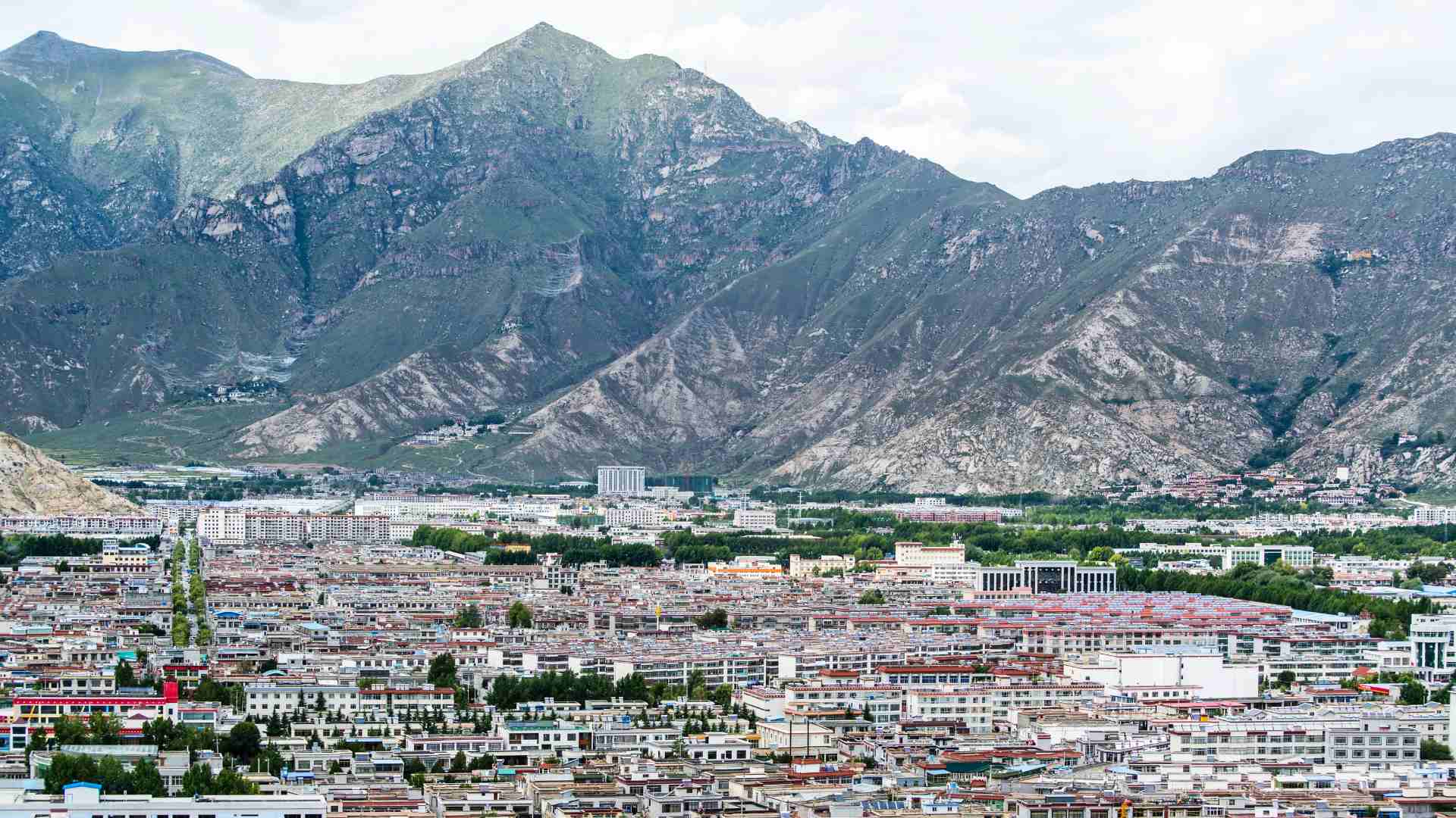
This is the Tibet of Lhasa, the Potala Palace, Jokhang Temple, Yamdrok Lake, Gyantse, Shigatse, Tashilhunpo Monastery and the north side of Everest. These are the best-known routes and the easiest part of the TAR to understand, because they form the standard organised travel circuit.
The basic rule is simple: a Chinese visa is not enough.
Foreign travellers need a Tibet Travel Permit to enter the TAR, and this permit is normally arranged through a licensed travel agency in China. The trip also needs to be organised in advance, with an approved itinerary, guide support and, for travel outside Lhasa, arranged transport. This is not the same as ordinary independent travel in most other parts of China.
Lhasa is the easiest entry point. For the non-TAR parts of the journey, trains, buses and domestic transfers to gateway cities such as Chengdu, Xining, Kunming, Kashgar or Lhasa can be planned separately from the Tibet permit system. Most foreign visitors arrive by train or flight, with their permit checked before boarding. From Lhasa, the common route extends west and southwest through Yamdrok Lake, Gyantse and Shigatse, and often onward to the Tibet side of Everest through Tingri. The roads exist and the destinations are famous, but the movement remains part of an approved travel structure.
These places are accessible, but not independently open.
The TAR travel system controls entry, route and movement. A traveller cannot simply arrive in Lhasa and sort out the paperwork later. The permit and itinerary are linked. Major changes are not something to assume once inside Tibet. A road may be public, paved and used by local traffic, but for foreign travellers it still belongs to an approved route system.
That is the baseline for the TAR. Before looking at Chamdo, Changtang, Ngari, Kailash, borderlands or restricted plateau zones, the basic reality is already clear: even the easiest parts of the Tibet Autonomous Region are not simply open terrain. They are accessible through permission, itinerary and managed movement.
Eastern Tibet Outside the TAR: Kham and Amdo
Large Tibetan areas lie in Qinghai, western Sichuan, parts of Gansu and northwest Yunnan. These are the regions traditionally associated with Kham and Amdo, though their modern administrative map is divided between Chinese provinces rather than grouped into one Tibetan unit.
Unlike the TAR, these areas usually do not require a Tibet Travel Permit. A traveller can often move through Tibetan parts of Sichuan, Qinghai, Gansu or Yunnan much like in the rest of China: by bus, hired car, rental car where possible, train, domestic flight, hotel booking or ordinary road travel. For the road-based version of this approach, see my practical guide to traveling in Eastern Tibet by car. In many places, there is no guide requirement, no fixed itinerary and no special Tibet-style permit system. In ordinary parts of China outside the TAR, rental-car travel can be useful where the road network is open and the driver is legally allowed to drive in China.
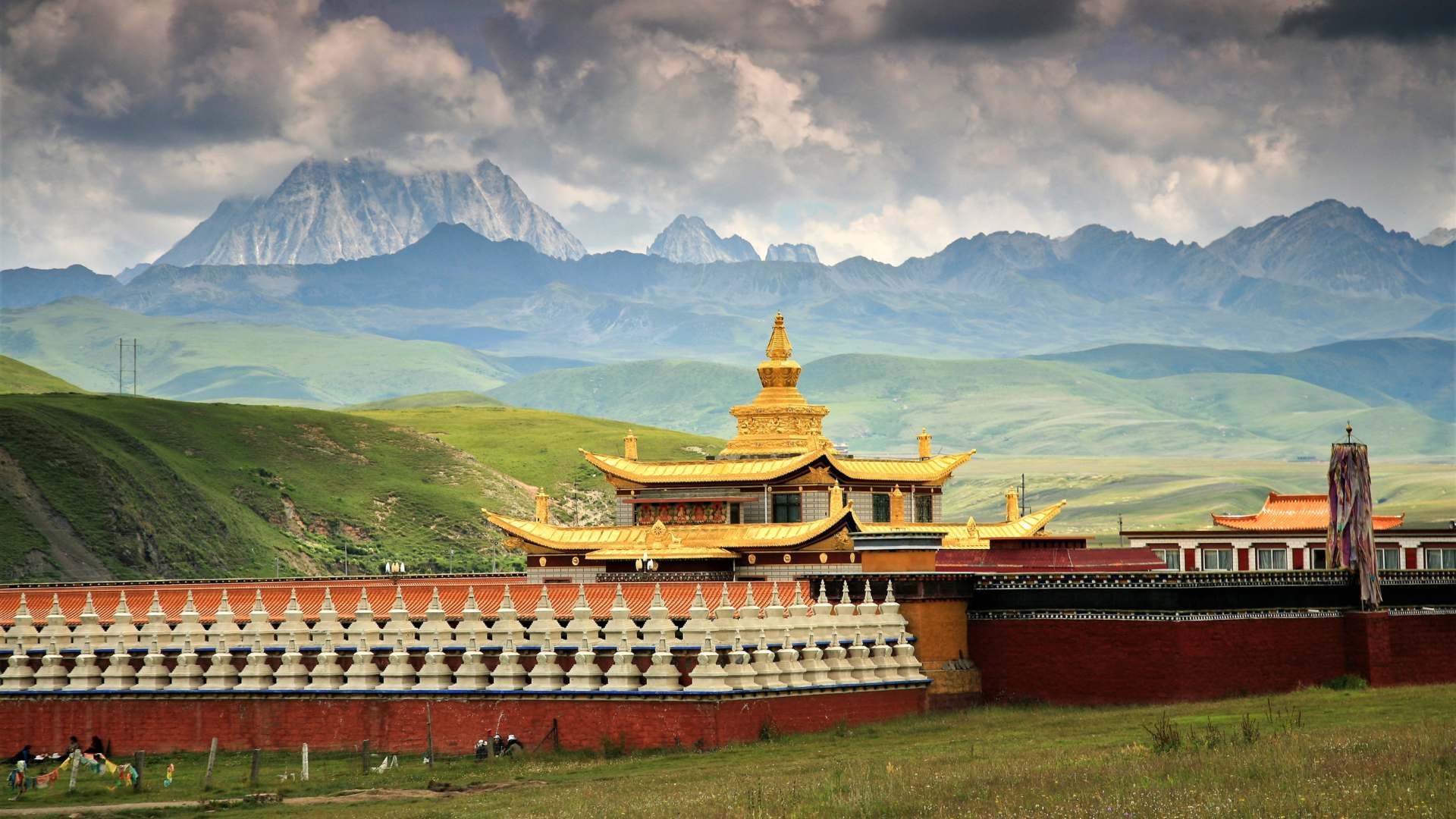
Western Sichuan routes through Kangding, Tagong, Litang, Garze, Dege or parts of Aba/Ngawa can offer strong Tibetan landscapes and monasteries without entering the TAR. Qinghai routes through Xining, Rebkong/Tongren, Yushu or other Amdo and Kham areas can feel even farther from the standard Lhasa circuit. Gannan in Gansu and Diqing in northwest Yunnan add other edges of the same world under ordinary provincial administration.
Some exceptions
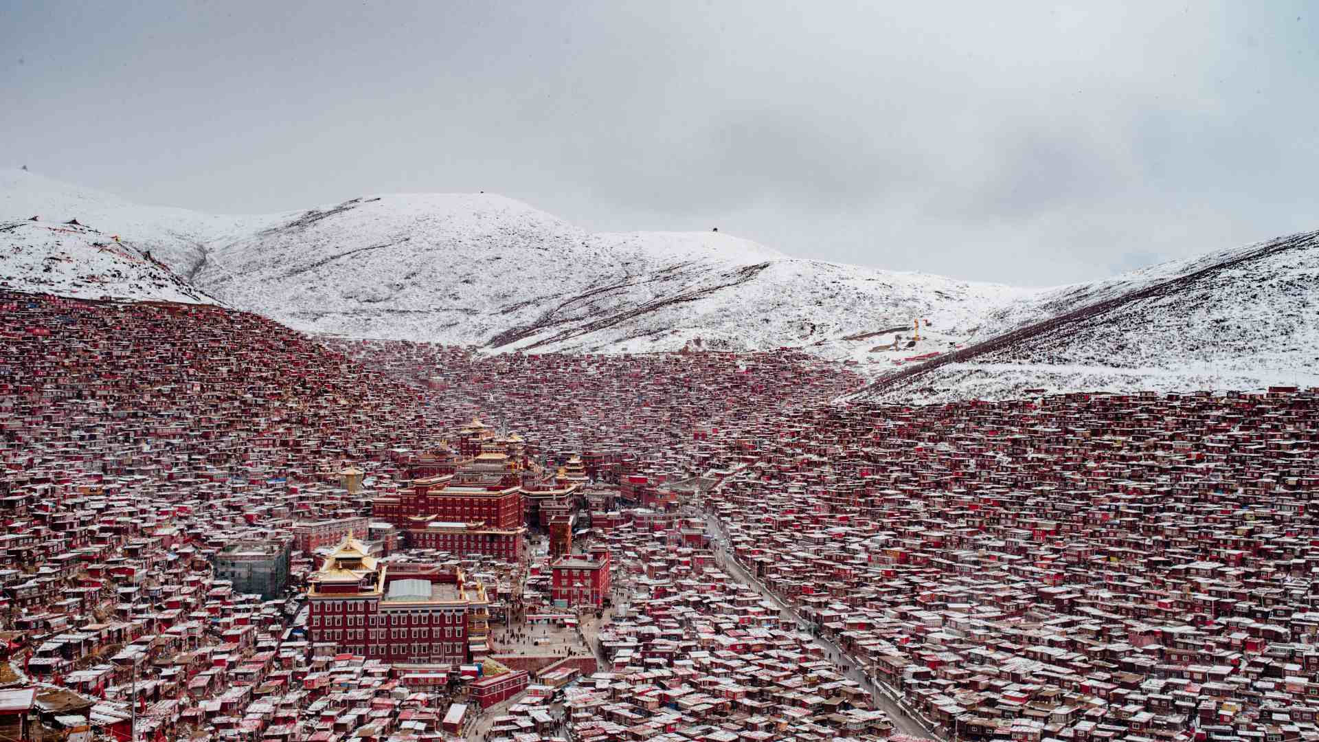
The most important exceptions are not ordinary monasteries, but large religious settlements or sensitive sites. Larung Gar near Sertar and Yarchen Gar in western Sichuan are the clearest examples. They are huge monastic settlements, with thousands of monks, nuns and practitioners, a history of state intervention and a higher level of political sensitivity. Access for foreign travellers has been restricted or unreliable for years.
Other restrictions can be local and temporary. A county may be open one year and sensitive the next. A road may be passable but a hotel may not register foreign guests. A monastery may be accessible to domestic visitors but not to foreign passport holders. In some cases, the restriction appears only when trying to book accommodation, buy a ticket, enter a site or pass a local control point.
So the practical rule is different from the TAR. In the TAR, access begins with permission. In Kham and Amdo outside the TAR, access usually begins as normal travel, but specific places can still interrupt the route.
The better assumption is this: eastern Tibet outside the TAR is broadly accessible, often independent, and much freer than the TAR, but with local exceptions that must be checked close to travel time.
Tibetan and Tibetic Areas in Neighbouring Countries
Across the Himalaya and the western highlands, there are regions where Tibetan Buddhism, Tibetic languages, plateau trade routes, monastery culture and high-altitude pastoral life continue under different states. These areas are not part of the Tibet Autonomous Region, and they do not follow TAR travel rules. Their access systems are shaped by India, Nepal, Bhutan and Pakistan.
In India, Ladakh is one of the clearest western Tibetic regions, while Sikkim and parts of Arunachal Pradesh belong to the wider Tibetan Buddhist Himalayan world. Travel may be possible under Indian rules, but border and protected areas require permits, and routes close to the LAC are sensitive. Nathu La is not a free crossing into Tibet, and Arunachal/Tawang is a controlled Himalayan edge, not a route into the TAR.
In Nepal, the Tibetan cultural layer appears in high northern valleys such as Upper Mustang, Dolpo, Humla, Nubri, Tsum, Manaslu, Langtang and Khumbu. Many can be visited through Nepal’s trekking system, but the most Tibetan-feeling northern valleys often fall under restricted-area permits. Bhutan is a separate kingdom with its own regulated tourism model. Baltistan in Pakistan is part of the western Tibetic world linguistically and historically, but modern travel there follows Pakistan’s frontier rules. Between Ladakh, Jammu and Kashmir, and Gilgit-Baltistan, the Pakistan-India frontier becomes a disputed Himalayan border zone, not a practical overland link between the western Tibetic worlds.
Border crossings
There are very few practical border crossings across the Tibetan and Himalayan world. Nepal and Tibet are connected for foreign travellers mainly through the Gyirong/Rasuwagadhi crossing, and even there Tibet-side travel requires the TAR permit and an organised tour. Pakistan and China connect through Khunjerab Pass, but that leads from Gilgit-Baltistan into Xinjiang, not into Tibet. India and Bhutan have road crossings, but Bhutan follows its own regulated system. India and Nepal have open road crossings, but those connect the lowlands and middle Himalaya, not Tibet directly. Farther east, the India-Myanmar frontier belongs to a different transition zone, where the Himalayan edge, Northeast India and mainland Southeast Asia begin to overlap, but it is not a direct route into Tibet.
Tibetan cultural geography crosses modern borders. Overland access does not.
A traveller can visit Ladakh, Mustang, Bhutan, Sikkim or Baltistan as separate Himalayan regions. But linking them into one continuous Tibetan route is much harder. Borders, disputed frontiers, military zones, permit systems and missing crossings break the map into separate access compartments.
The Northwestern Edge: Southern Xinjiang, Kunlun and Aksai Chin
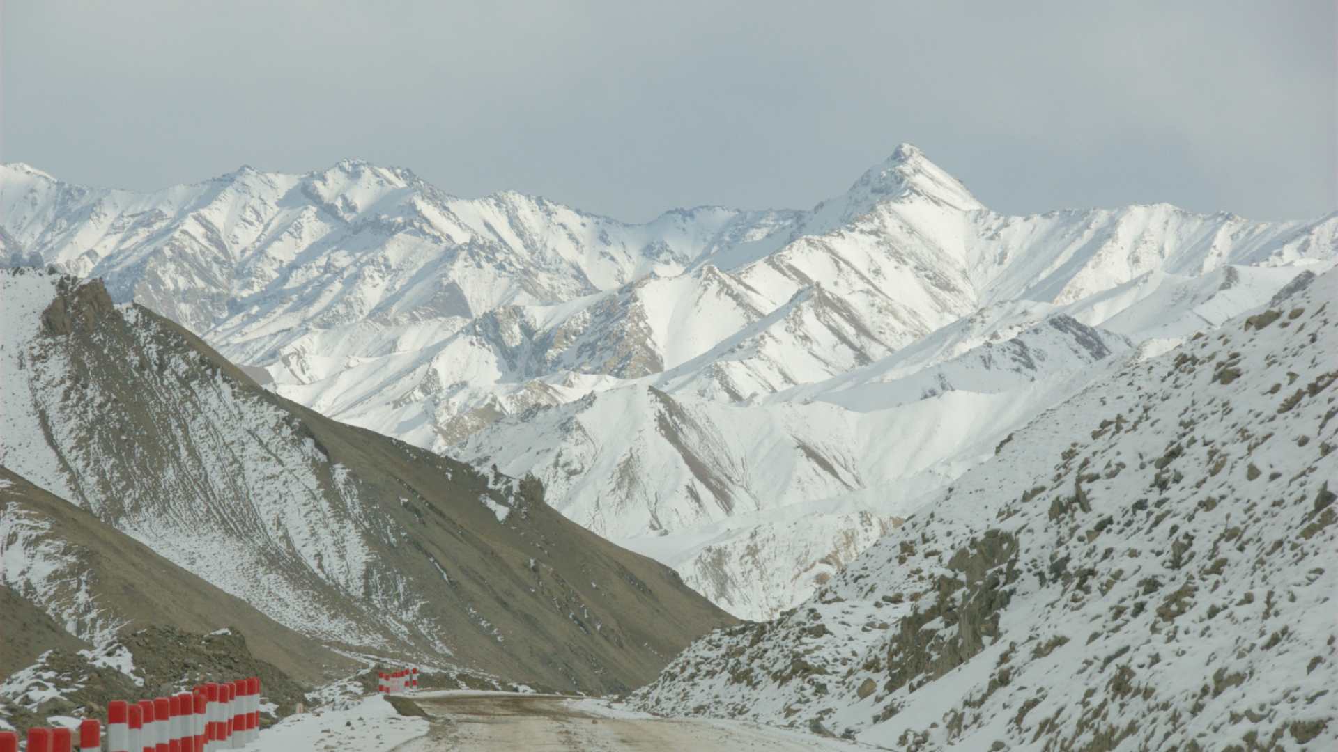
This becomes especially clear on the northwestern edge of the plateau, where Tibet, Xinjiang, Ladakh, the Kunlun Mountains, Aksai Chin and the Karakoram overlap. On a physical map, this looks like one continuous high-altitude world. For route planning, it is one of the least continuous parts of Asia.
It is a shift between plateau and basin, between Tibetan highland geography and Central Asian desert corridors, and between different administrative systems inside China. A traveller moving through Xinjiang may face checkpoints, border zones and local sensitivities. A traveller moving into western Tibet enters the TAR access system. Between them lies some of the most remote and strategic terrain in the country.
Aksai Chin shows the problem most clearly. Geographically, it is part of the high plateau world: dry, empty, extremely high and close to the western Tibetan route system. Politically and strategically, it is not an ordinary travel region. It is administered by China, claimed by India as part of Ladakh, and crossed by the road link between Xinjiang and western Tibet. For an overland traveller, that makes it a frontier zone, not a destination.
On the map, the road from Xinjiang toward western Tibet may look like a grand overland line across Asia. In route reality, it passes through altitude, desert, military-sensitive space, border-adjacent zones, protected landscapes and areas where foreign access can depend on permits, agencies, vehicle approvals and current local policy.
For wider Eurasian overland planning, this matters. Khunjerab Pass enters Xinjiang, not Tibet. Routes from Central Asia into Xinjiang do not create direct access to Lhasa or Kailash. Ladakh lies culturally close to western Tibet, but the India-China frontier is not an open travel bridge. Cultural and geographic proximity does not equal route continuity.
Special Access Zones and Sensitive Areas
Stable Borders, Restricted Borderlands
A stable border is not the same as an open borderland.
This is one of the most important ideas for Tibet and the wider Himalayan edge. Some borders may be peaceful, mapped and crossed by historical trade or pilgrimage routes. But a stable border is not the same as an open borderland.
The Nepal-Tibet border is the clearest example of a controlled but real overland gateway. For foreign travellers, the main practical land crossing between Nepal and Tibet is through the Gyirong/Rasuwagadhi corridor. This can function as a Kathmandu-Lhasa overland route, but not as independent free movement. The Tibet side still belongs to the TAR permit system: agency arrangement, approved itinerary, guide, vehicle arrangement and border timing all matter.
The India-China frontier is a different kind of barrier. Ladakh, Spiti, Kinnaur, Sikkim, Tawang and other Himalayan borderlands may be culturally close to Tibet, but the frontier itself is not a normal overland travel bridge. Nathu La, Shipki La, Lipulekh, Demchok and other approaches may appear in trade, pilgrimage, military or local contexts, but they do not create a simple foreign traveller route into the TAR.
Many lesser-known passes visible on maps are not usable international crossings for ordinary travellers. China’s own permit system also recognises that some places are not open to foreigners without separate travel permission. Some may be used by local communities, military forces, trade arrangements or pilgrimage groups; others may be physically possible but administratively closed. The useful question is not whether a pass exists, but who is allowed to use it, in which direction, under what system and at what time.
Borderlands are not automatically closed, but they are rarely neutral. They concentrate the exact things that interrupt long-distance routes: permits, checkpoints, military roads, changing policy, protected zones, disputed claims, altitude, landslides, weather and lack of alternative roads.
A stable border may be peaceful. But it can still stop the route.
Disputed or Undefined Border Areas
Some Tibetan borderlands are not only restricted. They are disputed, undefined or controlled through overlapping claims.
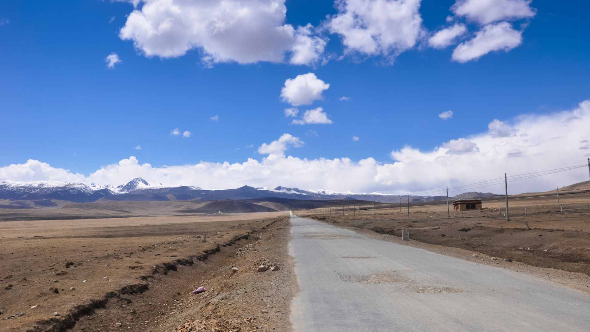
This is most important along the India-China frontier. Here the border is not a normal demarcated international line. Much of it is managed through the Line of Actual Control, where India and China do not always share the same understanding of where the boundary lies. The issue goes back to the 1962 war and remains unresolved, especially around Aksai Chin in the west and Arunachal Pradesh in the east.
A mapped road near the LAC is not just a remote mountain road. It may be a patrol road, a military-access road, a border-village road, a construction road, or a road whose use depends on local security approval. The surface may exist, but that does not mean a foreign overland traveller has a normal way to receive permission to use it.
Aksai Chin shows this clearly. It is administered by China and claimed by India as part of Ladakh. It is high, dry, remote plateau terrain between Xinjiang, western Tibet and the Karakoram. The main Xinjiang-Tibet highway, G219, passes through this wider strategic corridor and can be possible for foreign overland travellers under a highly controlled arrangement: approved itinerary, agency support, Tibet permits, additional approvals for Ngari and sensitive areas, and no independent deviation from the approved route.
But G219 should not be misunderstood. It is an approvable trunk corridor, not a general opening of the surrounding borderlands. Being allowed to move along G219 does not mean a traveller can turn toward Kongka La, Galwan, Hot Springs, Depsang, Demchok or other LAC-facing areas. These are not ordinary route choices. Some were involved in recent military tension, including the deadly Galwan Valley clash in 2020 and later disengagement arrangements around Depsang and Demchok.
Beyond G219
Other roads are even less predictable. Parts of the emerging G695 system, G684 near the western Xinjiang-Tibet-Karakoram edge, or local roads such as S520 toward Kongka La-type areas may exist, be planned, be under construction or be locally used. In rare cases, movement through certain sections might be arranged. But for a foreign overland traveller, there may be no ordinary application path, no predictable permit sequence and no guarantee that an agency can get the route approved.
This does not always mean “absolutely impossible” in the abstract. It means the route is outside the normal permission system. If access were possible at all, it would likely be a special case: specific contacts, long advance negotiation, multiple administrative layers, current political calm, accepted vehicle arrangements, high cost, and still no certainty of approval. In practical route planning, that is bordering on impossible.
The eastern sector has a different shape but the same lesson. Arunachal Pradesh is administered by India, while China refers to the area as South Tibet. A neutral route discussion does not need to decide the sovereignty question. The practical point is simpler: this is not an open overland connection into Tibet.
A route may be short on the map but impossible to approve. Another may look like a military road but be usable only by local authorities. A third may be physically passable but closed to outsiders because it sits too close to the LAC. The problem is not only terrain. It is the absence of a normal mechanism for foreign passage.
The map may show a line. The administration may not give you a path.
Sensitive Religious and Cultural Sites
Some places are sensitive because of their religious scale, cultural importance, political history or the kind of community they contain. This is especially easy to misunderstand outside the Tibet Autonomous Region, where travellers may assume that “no Tibet Travel Permit” means “everything is open.” It does not.
Larung Gar and Yarchen Gar are the clearest examples. They are not ordinary monasteries beside a road. They are large monastic settlements and Buddhist institutes, with thousands of monks, nuns, students and lay practitioners, strong religious authority, dense residential life and a history of state intervention. That places them in a different access category from many smaller monasteries in Kham and Amdo.
Inside the TAR
The same principle applies inside the TAR, but through a different system. Famous religious sites such as Jokhang, Sera, Drepung, Ganden, Tashilhunpo, Sakya, Samye and other major monasteries may be included in approved itineraries. Their accessibility does not mean free movement. A traveller is still inside the organised TAR access system, and some monasteries, valleys or counties can require additional approval depending on location, timing and current policy.
Western Tibet adds another layer. Mount Kailash and Lake Manasarovar are not only remote highland places. They are major sacred landscapes for Tibetan Buddhism, Bon, Hinduism and Jainism, and they sit in Ngari, close to sensitive border regions. For foreign travellers, reaching them normally requires more than the basic Tibet Travel Permit: additional travel, military and border-related approvals are commonly part of the permit stack for this region.
This is why religious geography matters for overland planning. A monastery on the map is not just a cultural stop. It may sit inside a normal county, a restricted county, a border county, a pilgrimage landscape, a politically sensitive settlement or an approved itinerary zone. Those categories change what movement is possible.
Outside the TAR, Tibetan areas are often much more accessible, but not automatically open. Inside the TAR, famous religious sites may be visitable, but only through the approved access system. And in a few places, especially large monastic settlements or sacred borderland landscapes, the barrier is not the road at all. It is the sensitivity of the place itself.
Empty Plateau and Protected Landscapes
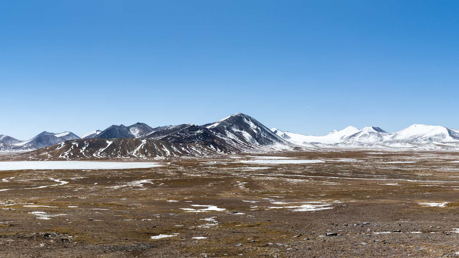
On a map, northern Tibet, Changtang, Kekexili/Hoh Xil, remote Qinghai, the Kunlun edge and the high routes between Xinjiang and Tibet may appear as wide blank spaces crossed by a few thin roads. For an overland traveller, that blankness can be misleading. Empty plateau is not open space.
These areas combine several barriers at once. The first is physical. Much of the northern plateau lies above 4,500 metres. Distances are long, settlements are rare, fuel and repair points are limited, weather can change quickly, and rescue is not something to assume. Even without formal restrictions, movement here is expedition-level travel. Travel insurance is not a substitute for permits, rescue planning or local approval, but medical and evacuation coverage should be checked carefully before any high-altitude route.
The second barrier is environmental. Kekexili/Hoh Xil and parts of Changtang are important wildlife landscapes, home to Tibetan antelope, wild yak, kiang and other plateau species. They are protected high-altitude ecosystems, not empty wastelands. Unauthorized movement into Hoh Xil has been treated as both a safety and conservation problem.
A traveller may be able to move along an approved trunk road near these landscapes, such as a permitted G219 itinerary through western Tibet. That does not mean the surrounding plateau can be entered freely. A road across the edge of a protected or sensitive zone is not the same as permission to leave the corridor, follow a side track or attempt a deep crossing.
In some cases, access may not be absolutely impossible in theory. But it may sit outside any ordinary permission mechanism. A deep Changtang or Hoh Xil-style crossing would likely require special approval, local administrative support, conservation clearance, police registration, serious logistics, rescue planning and possibly an institutional or research purpose.
A blank space on the map is not a free space on the ground. In Tibet and the northern plateau, emptiness itself can be part of the access barrier.
Practical Route Implications for Long Overland Journeys
For a short visit to Lhasa, Tibet’s access system is relatively easy to understand. You arrange the permit through a licensed agency, enter by train or flight, follow the approved itinerary, and leave. It may be expensive and controlled, but the structure is clear.
If Tibet is only one segment in a larger journey across Central Asia, China, the Himalaya or Southeast Asia, the question is no longer “Can I visit Tibet?” This is especially true for segmented cross-continental travel, where one difficult region can determine how the larger route has to be broken, delayed or rebuilt. The question becomes: can this exact line be turned into an approved route from entry to exit?
An overland route through Tibet is not created by a road alone. It is created by the road, the traveller’s passport status, the vehicle status, the driving permission, the Tibet permit, the extra regional approvals, the checkpoints, the guide or escort arrangement, and the exit plan all lining up at the same time.
Think in Segments, Not Destinations
A long Tibet route has to be broken into administrative segments.
A route such as Kashgar – G219 – Ngari – Kailash – Lhasa – Chengdu is not one continuous travel idea. It is a sequence: Xinjiang entry, Xinjiang road movement, TAR entry, Ngari approval, western Tibet movement, Lhasa access, eastern exit approval, and then normal China again.
A route such as Kathmandu – Gyirong – Lhasa – Xining has a different shape. The Nepal-Tibet border, the Tibet permit system, the Lhasa segment and the exit toward Qinghai each have to work in order.
For a traveller with their own vehicle, there is another layer before Tibet even begins. If Tibet is part of a one-way journey with own transport, the exit plan matters as much as the entry plan, because the vehicle has to remain legal, movable and aligned with the approved route until the TAR segment is finished.
Cost planning also has to include permits, guide or escort fees, waiting days, vehicle paperwork, support arrangements and fallback routes, not only fuel and distance. The person must be allowed into China. The vehicle must be allowed into China. The driver must be legally allowed to drive in China. Foreign vehicles normally need temporary entry procedures, customs clearance and temporary vehicle documentation. For self-driving groups, Chinese permit procedures can require route, schedule, agency reception and vehicle details before approval. If the driver does not hold a Chinese driving licence, a foreign licence or International Driving Permit is not enough; China requires a Chinese temporary driving permit or Chinese licence for legal driving.
But even a Chinese driving licence does not create Tibet autonomy. It gives driving legality. It does not remove the TAR access system.
The TAR Segment Has to Be Approved Before It Begins
For a foreign overland traveller, entering the TAR by road is not the same as crossing from one ordinary Chinese province into another.
The Tibet segment has to be arranged in advance. The permit, route, vehicle type, entry point, exit point, guide or escort arrangement and overnight stops need to match the approved itinerary. For self-driving, some agencies can arrange a Tibet Travel Permit marked for “Self-Driving Tour” or “Motorcycle Tour,” but this still means approved movement inside an organised structure, not independent route freedom.
On a standard route, the handover happens at a practical staging point: Gyirong for Nepal entry, Mangkang/Markam or nearby for eastern road entry, Golmud for a Qinghai approach, or Kashgar/Yecheng for a Xinjiang-G219 approach. On remote routes, the escort may need to begin before the TAR boundary because there may be no usable place to arrange a clean handover later.
The guide may ride in the traveller’s vehicle as a co-pilot, or there may be a separate support vehicle. For a car, the co-pilot model may be enough. For motorcycles, convoys, Ngari, G219 or high-risk plateau segments, a support vehicle may be part of the arrangement.
The important point is simple: the traveller may hold the steering wheel, but they do not hold the route independently.
Standard Corridors and Exceptional Lines
Not all roads across Tibet belong to the same access category.
Some corridors have a known mechanism. G219 through Xinjiang, western Tibet, Ngari and Lhasa is difficult, expensive and highly controlled, but it can be possible. The same applies to some Nepal-Lhasa, Lhasa-Everest, Lhasa-Kailash and Lhasa-Qinghai combinations when arranged correctly.
G684, parts of G695, roads toward Kongka La, routes close to the LAC, deep Changtang crossings, Hoh Xil-style traverses and some northern plateau tracks may appear on maps, but there may be no ordinary permission path for a foreign traveller. The road may exist. It may even be physically passable. But there may be no predictable process by which an agency can turn it into an approved foreign overland segment.
This is not always the same as “absolutely impossible.” It means the route is outside the normal mechanism. If it were possible at all, it would probably require case-specific negotiation, local administrative support, multiple approvals, high cost, current political calm, support vehicles and still no guarantee of success.
On exceptional lines, the question is whether the route can be made administratively real at all.
Road Exists vs Route Exists
A road exists when it is visible on a map, paved on the ground, used by local traffic or built for logistics.
A route exists when a traveller can legally move along it from one segment to the next.
A long-distance traveller may see a line connecting Tajikistan, Qulma, Tashkurgan, G684, G219, Lhasa and Chengdu. But each part belongs to a different permission reality. Qulma may be a usable China-Tajikistan crossing in some periods. Xinjiang may allow wider movement than the TAR but still involve checkpoints and border controls. G684 may not be an approvable foreign movement line. G219 may be possible only through a structured Tibet arrangement. The exit from Lhasa toward Sichuan may require its own approval.
The map shows continuity. The administration may break it into pieces.
Planning Without False Assumptions
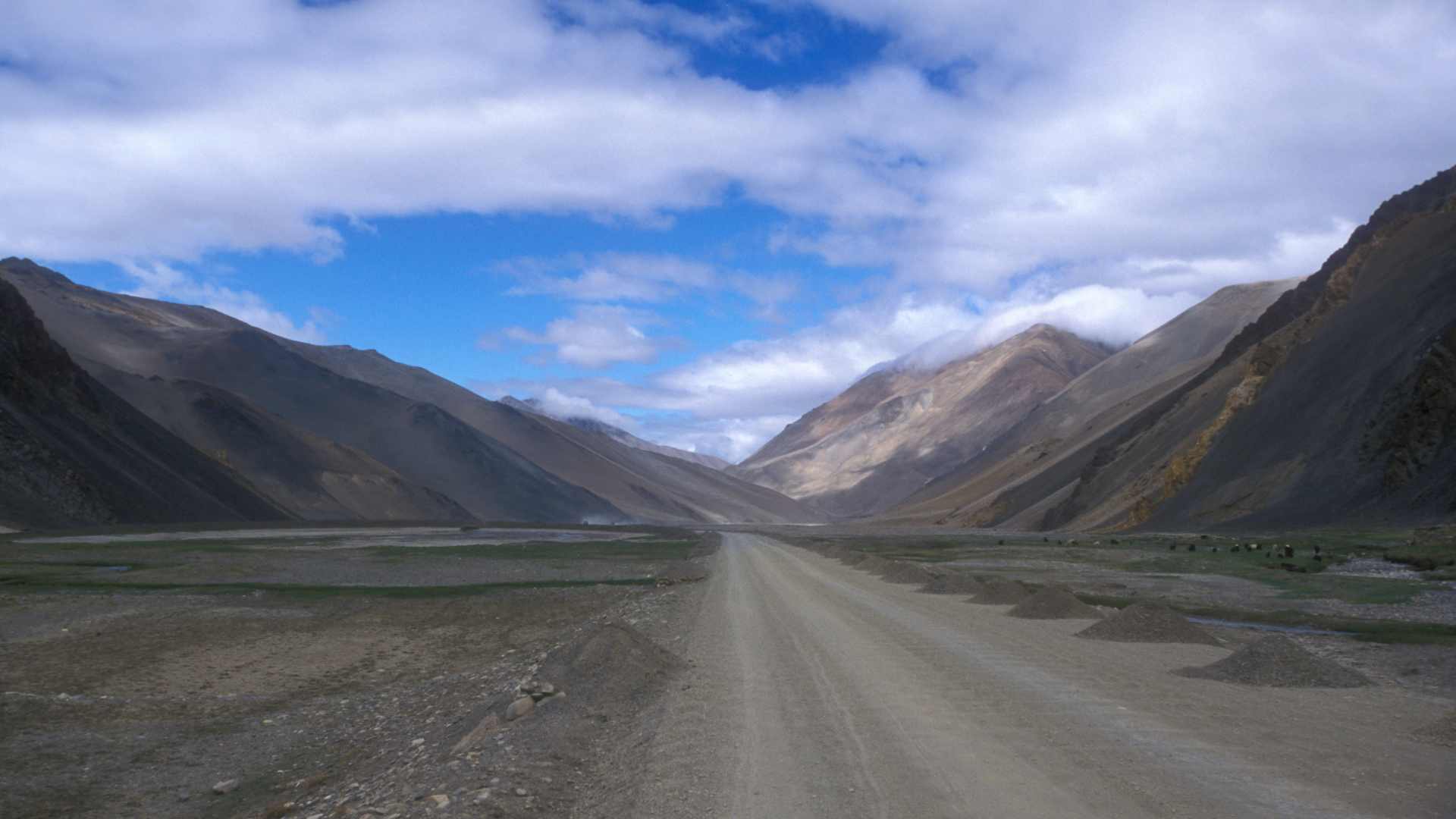
Check the exact county, road, checkpoint, border crossing and protected zone. Do not assume that “outside Lhasa” means open, or that “outside the TAR” means unrestricted, or that a road used by Chinese self-drivers can also be used by a foreign overland traveller.
Have a Plan B that does not depend on one fragile corridor. If G684 cannot be approved, the fallback may be Kashgar/Yecheng to G219. If a G318 exit through Chamdo is not possible, the route may need to leave through Qinghai, by train, or by a different approved road. And if deep Changtang cannot be arranged, it should not collapse the entire Eurasian traverse.
Above all, do not treat a “maybe open” road as the foundation of a continental journey.
But “Can this whole line be approved, driven, checked, supported and exited?”
Conclusion: Tibet Is a Route System, Not Just a Place
Tibet is not only a destination on the map.
It is terrain, culture, history, administration and access control layered into one route space. The plateau creates the physical barrier. Tibetan culture extends beyond the TAR and across modern borders. Modern administration divides that world into different provinces, prefectures, countries and permit systems. Borderlands, protected landscapes, religious sites and sensitive roads add further limits.
For overland travel, this matters more than the name “Tibet” itself.
A route may cross Tibetan terrain without entering the TAR. It may enter the TAR but stay on a standard approved corridor. It may pass through Tibetan cultural areas outside the permit system. Or it may follow a line on the map that exists physically but cannot be turned into a reliable foreign overland route.
This is why Tibet has to be read in layers.
The road is one layer. The permit is another. The border is another. The timing, local policy, vehicle status, guide arrangement and current security situation are others.
Only when these layers align does a real route appear.
For a traveller planning a short visit to Lhasa, this may simply mean booking through a licensed agency and accepting the organised system. For someone trying to cross Asia by land, it means something larger: Tibet can become the segment that defines whether the whole continental line holds together or breaks.
The map may show a road across the plateau.
But in Tibet, the route begins only when the land, the permission and the moment all allow movement.
Take a look at the video about crossing the whole of Tibet and beyond:
Like it? Pin it here⇓! Follow us on Facebook, X and Instagram!
You may also like



Hi, we are Krasen and Ying Ying. Krasen is from Bulgaria, and Ying Ying is from China. We are passionate about geography and history, and we believe that the best way to experience it is by exploring the Earth in reality, not in a school, and not virtually.
So, we created this blog Journey Beyond the Horizon, where we share geographical knowledge, travel guides and tips how to experience it when you explore our planet, and a lot of inspiration.
And we wish you a happy journey, not just virtually, but most of all- in reality.
Enjoy!
Krasen and Ying Ying
Hi, we are Krasen and Ying Ying. Krasen is from Bulgaria, and Ying Ying is from China. We are passionate about geography and history, and we believe that the best way to experience it is by exploring the Earth in reality, not in a school, and not virtually. So, we created this blog Journey Beyond the Horizon, where we share geographical knowledge, travel guides and tips how to experience it when you explore our planet, and a lot of inspiration. And we wish you a happy journey, not just virtually, but most of all- in reality. Enjoy!

