
Table of Contents
Introduction: This Is Not About Luxury Yachts
This article is not about luxury yachts, marina lifestyle, or sailing as a hobby. It is about a more basic geographical problem: how to keep moving across the Earth’s surface when that surface is no longer land, but water.
Most long-distance journeys are imagined through continents, roads, borders, mountains, deserts, and cities. But the Earth’s surface is mostly water, and any serious idea of route continuity eventually has to face seas, straits, archipelagos, remote coasts, and oceans. In that sense, independent sea travel is one way of exploring the geography of the Earth beyond the land-based routes, roads and continental systems that usually define long-distance travel.
The question here is not how to enjoy boating, but how to continue a surface journey across the water parts of the planet. Private boats and other forms of independent sea transport are one possible answer. They can extend a land journey without using air travel, but they also introduce a new system of limits: vessels, ports, weather, documents, costs, safety, and legal entry.
So this article is a route-continuity framework, not a beginner sailing guide. It explains when independent travel by sea is possible, when it makes sense, and when the water crossing becomes a bigger logistical system than the land journey itself.
From Crossing Continents to Crossing Oceans
Crossing a continent and crossing an ocean may look like two versions of the same idea: moving from one side of a large space to another. In practice, they are very different route problems. This is especially important in geography-first long-distance routes, where the goal is not only to reach destinations, but to understand how terrain, distance, barriers and transport systems shape the line of movement.
On land
On land, long-distance movement has many possible forms. A journey can continue on foot, by bicycle, motorcycle, car, bus, train, truck, rented vehicle, hitchhiking, or with a private expedition vehicle. Even when the terrain is difficult, the traveller usually moves through a world built around land: roads, tracks, towns, borders, fuel stations, repair shops, markets, police posts, and settlements. This is the basic logic behind segmented cross-continental travel, where a long route is not completed by one single method, but by adapting movement to terrain, borders, infrastructure and available transport systems.
Continental travel can still be hard. Deserts, mountains, forests, closed borders, conflict zones, and missing roads can break a route. But the land journey usually takes place inside a wider human infrastructure. There are places to stop, repair, resupply, ask for help, or choose another way forward.
On the ocean
The ocean changes the logic. There are no roads across open water, no villages along the way, no repair shop every few dozen kilometres, and no permanent line of services between two points. Weather and season are not background conditions; they become part of the route itself. Distance is no longer just a number on the map. It becomes a question of vessel range, seaworthiness, autonomy, shelter, crew capacity, and waiting time.
In this sense, crossing water independently is not just “overland travel, but by boat.” It is a different movement system. A land crossing is usually built from route plus infrastructure. An ocean crossing is built from route plus vessel, weather window, and autonomy.
That is why private or independent sea transport has to be treated carefully. It can solve a land-water continuity problem, but it also moves the journey into a space where the transport itself becomes the main expedition system.
The Main Ways to Cross Water Without Flying
If the goal is to continue a journey across water without using air travel, a private boat is only one possible solution. In route-continuity planning, the first question is not “Which boat do I want?” but “What kind of water barrier am I trying to cross, and what transport systems already exist there?” This article continues the wider problem of crossing land and water independently, where the main question is how to keep a surface journey moving when the route shifts between roads, ferries, coastlines, islands and open water.
Some water crossings are already part of public or commercial transport networks. Others require informal local transport, arranged passage, or a privately controlled vessel. The right choice depends on distance, geography, season, legal entry points, cost, safety, and whether the journey must continue with the same vehicle or only with the traveller. This is part of the wider problem of arranging transport for overland routes and expedition travel, where the route is built from available transport systems rather than from a single fixed method.
Using Someone Else’s Transport
The simplest way to cross water without flying is to use a vessel operated by someone else. This may be a regular ferry, a passenger ship, a cargo ship where passenger or crew passage is possible, a local boat, or a privately arranged transfer.
For many route-continuity problems, this is the most realistic option. A ferry may connect two sides of a strait. A local boat may link islands, river mouths, coastal villages, or short sea gaps. In some regions, informal boats are part of everyday transport, even if they do not appear as clear routes on international travel-planning websites.
There are also less common options: joining another boat as crew or passenger, arranging expedition support, or using a larger passenger vessel. Other sea-based travel formats, such as liveaboard diving, also use a vessel as a temporary base, but they are usually built around underwater exploration rather than continuing a long-distance geographical route. Cruise ships technically move across water without flying, but they are rarely a clean route-continuity solution because their routes are built around tourism circuits, fixed schedules and port calls, not around continuing a geographical line.
Using someone else’s transport reduces the burden of owning, maintaining, navigating and legally operating a vessel. But it also reduces control. You depend on existing routes, timetables, operators, ports, weather decisions and the rules of the transport provider.
Using Your Own or Controlled Transport
The other option is to cross water with a vessel you own, rent, charter, or otherwise control. This is where private boats enter the route-continuity problem.
A controlled vessel can give more freedom than ferries or public routes, especially where the route crosses archipelagos, broken coastlines, remote water gaps or seas without regular passenger connections. It may be a sailboat, motorboat, coastal craft, yacht, expedition vessel, or a more specialized form of water transport.
But more control also means more responsibility. The traveller is no longer only choosing a route. They are managing a vessel, a legal border-crossing object, a safety system, and a moving base of operations in a place where infrastructure may be sparse or absent.
This is why private sea transport should not be treated as simply “finding a boat.” The vessel must match the water, the distance, the season, the legal route and the level of independence required.
Private Sea Transport: Not Only Luxury Yachts
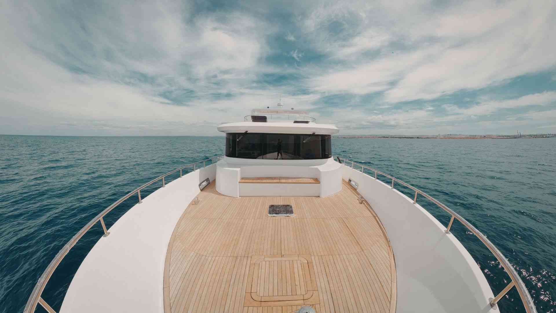
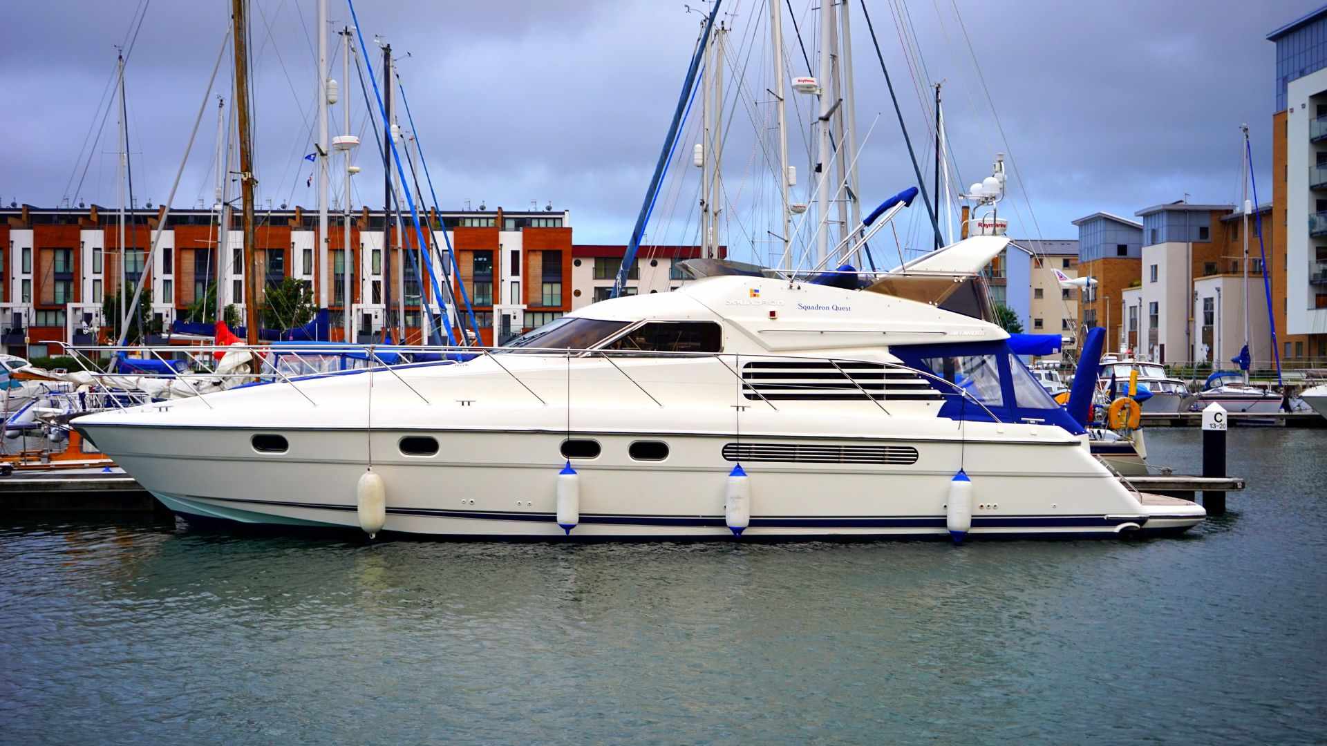
When people hear the word “yacht,” they often imagine luxury: large white vessels, marina life, private crews, and expensive coastal leisure. But in the context of independent sea travel, this image is misleading. A private vessel may be a simple sailboat, a small motorboat, a coastal craft, a liveaboard boat, or a more serious ocean-capable vessel.
For route-continuity planning, the important question is not whether the vessel looks impressive. The important question is whether it matches the water environment it has to cross.
Water is not one uniform surface. Rivers, lakes, bays, straits, archipelagos, open seas and oceans all create different movement problems. A craft that is safe on a lake may be unsuitable for an exposed coast. A boat that works between nearby islands may not be built for an offshore passage. A vessel that can move along a sheltered shoreline may still be the wrong tool for crossing an ocean.
The word “boat” is used here in a broad sense. Independent sea travel does not always mean a luxury yacht or even a standard cruising sailboat. History includes ocean crossings by rafts, rowing boats and extremely small craft. These examples show that the water can be crossed in many ways, but they should not be confused with normal route-continuity tools. Most such voyages are experimental, record-setting or expedition-level projects, where the craft itself becomes the central challenge.
Inland and Sheltered-Water Craft
The simplest watercraft belong to calm or protected environments: lakes, slow rivers, lagoons, sheltered bays, canals and short crossings in controlled conditions. This can include rowing boats, kayaks, canoes, inflatable boats, simple motorboats and local utility boats.
These craft can be useful for local movement, short water gaps, river systems, lake crossings and access to settlements or islands inside protected waters. But they should not be confused with sea-going vessels. For route continuity, they solve small water problems, not ocean problems. On such routes, gear for hot, wet and roadless terrain must keep critical items dry and transferable when movement shifts between boat, riverbank and foot travel.
Coastal and Nearshore Boats
The next level is the coastal boat: a vessel suitable for short sea passages, sheltered coasts, island channels, bays and nearshore movement. These boats may be small motorboats, fishing boats, local passenger boats, or private craft used between nearby islands.
This category can be useful in archipelagos, deltas, fjord-like coasts and regions where water is part of local transport. A coastal boat may connect places that roads do not reach or move through a chain of short sea gaps.
But coastal does not mean ocean-capable. These boats usually depend on short distances, local knowledge, calm weather, fuel availability, shelter and the ability to return or stop quickly if conditions change.
Sailboats and Motorboats
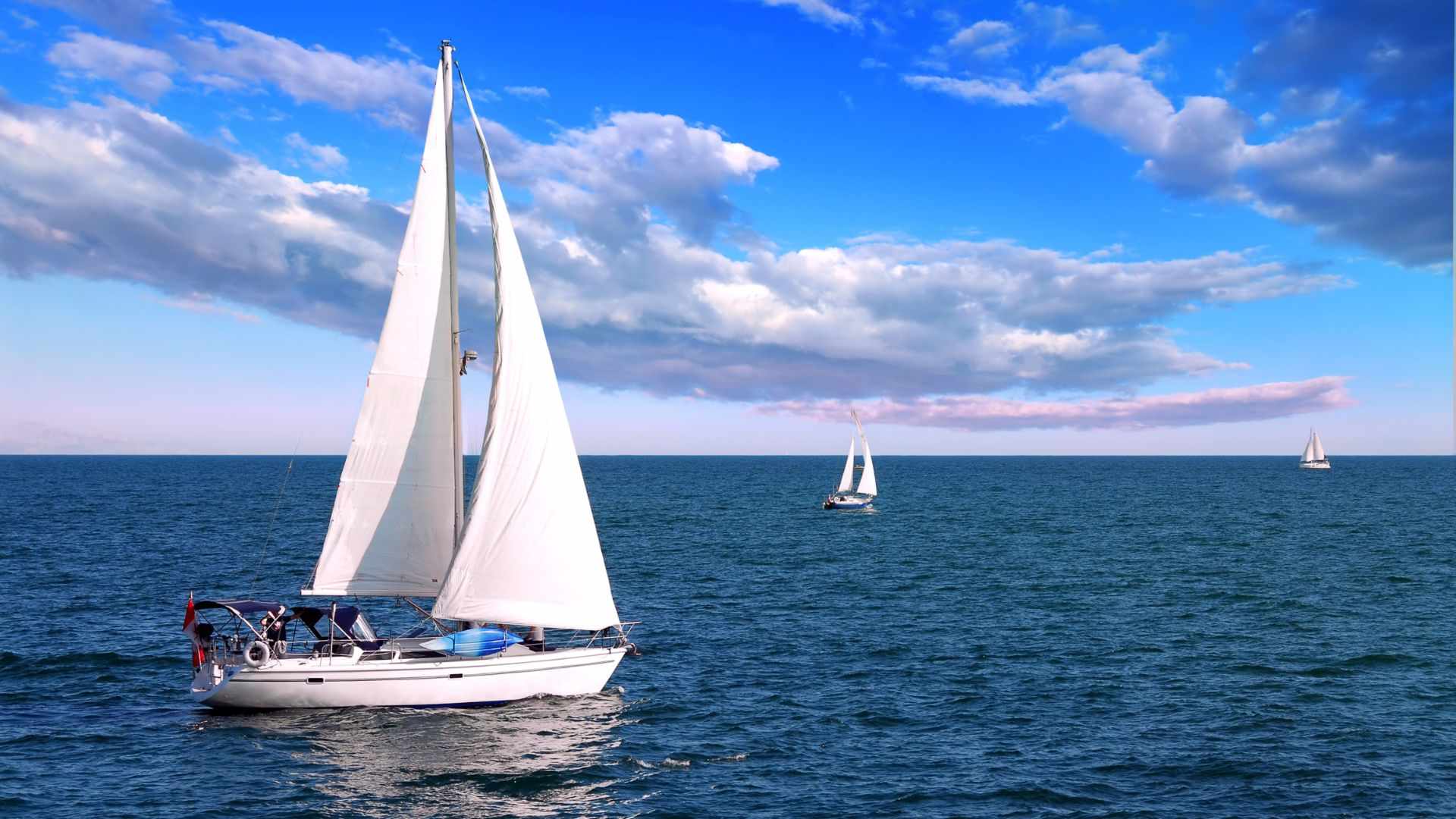
Sailboats are the classic symbol of independent long-distance sea travel. Their main advantage is that they are not fully dependent on fuel, which can make them more suitable for longer passages when refuelling options are limited.
But a sailboat is not a magic solution. It demands time, skill, maintenance, weather awareness, navigation, safety discipline and a vessel designed for the conditions it will face. A small daysailer used near shore is not the same as an offshore cruising sailboat.
Motorboats work differently. They can be useful where distance is shorter, timing matters and fuel is available: coastal movement, island chains, short sea crossings, river mouths, archipelagos and controlled routes between known points.
Their advantage is direct movement. Their weakness is fuel. The longer and more exposed the passage becomes, the more fuel range, fuel cost, refuelling points, engine reliability and emergency reserve dominate the route plan.
Ocean-Capable Private Vessels
An ocean-capable private vessel is a different level of route system. It is not just “a boat.” It is a moving base of operations designed to survive distance, exposure, weather changes, limited rescue access and long periods away from immediate infrastructure.
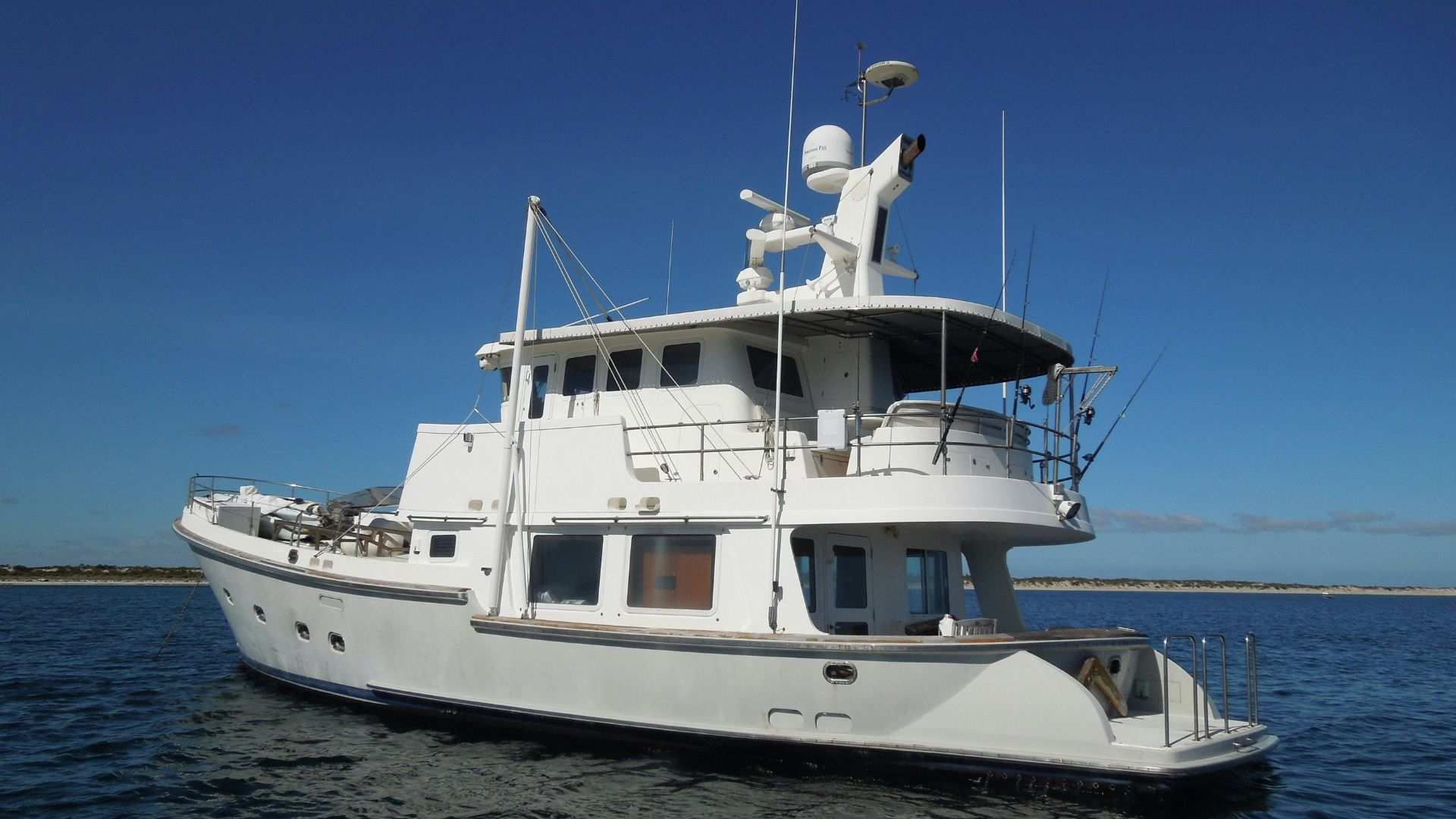
This may be an offshore cruising sailboat, a serious motor yacht, an expedition vessel, or another craft specifically prepared for open-sea passages. At this level, the main questions become autonomy, seaworthiness, crew ability, navigation, communications, safety equipment, spare parts, water, food, power, repairs, weather routing, insurance and legal entry at the other end.
There is no single best boat for independent sea travel. The correct question is: what kind of water must be crossed? A kayak may be enough for a sheltered lake. A small motorboat may work between nearby islands. A coastal boat may follow a protected shoreline. A sailboat may solve a longer offshore passage. An ocean-capable vessel may be required when the route enters exposed seas or open ocean.
In other words, the vessel must match the geography. The farther the route moves from shelter, infrastructure and immediate help, the more the boat itself becomes the central expedition system.
The Administrative Reality: Leaving, Sailing and Entering
Independent sea travel is not only a question of water, distance and vessel capability. It is also a question of legal space.
On land, borders are usually visible: checkpoints, fences, bridges, passport booths, mountain passes, or road crossings between states. At sea, the border is less visible, but the administrative system is still there. A boat does not simply leave one country, disappear into empty water, and appear on another coast without paperwork. It moves through layers of jurisdiction.
For route-continuity planning, this is one of the most important differences between a line on the map and a real journey. The coastline may look open, but the legal route is usually structured by ports, clearance procedures, territorial waters, customs, immigration, vessel registration, and the next legal point of entry.
Leaving and Entering Must Happen Through Legal Points
Can a private boat just leave from any beach? In most international travel situations, the answer should be treated as no.
Physically, a boat may be able to depart from a beach, bay, or informal coastal point. Legally, however, leaving a country by private vessel often requires clearance from an official port, harbour authority, border police, customs office, or another designated authority.
This may involve vessel documents, crew lists, passports, visas, customs declarations, port clearance, and sometimes a declared next port of call. The exact procedure depends on the country, but the principle is important: departure by sea is not only the movement of a person. It is the movement of a vessel, crew, stores, equipment, and sometimes goods across an international boundary.
Points of departure and arrival
This is why a meaningful geographical starting point is not always a legal departure point. A traveller following a line such as the Equator around the Earth may want to begin from the exact place where Latitude 0 meets the African coast, but unless that point is an approved departure point, or unless special permission is granted, the legal sea journey may still have to begin from a port.
The same logic applies on arrival. A boat may physically reach a coastline, beach, bay, or island, but that does not mean it has legally entered the country. For international arrival, the vessel usually has to proceed to an official port of entry or designated clearance point. There, the captain and crew may deal with immigration, customs, port authority, quarantine, health, agriculture, vessel documents, crew lists, passports, visas and sometimes cruising permits.
In route-continuity planning, the coastline is not the entry point. The port of entry is.
The cleanest route is usually this: clear out from an official port, follow the permitted route, avoid unauthorized shore contact, proceed offshore, and later clear in through an official point of entry.
Coastal Waters and Maritime Zones
Once a boat leaves the harbour, it does not immediately enter international freedom. Coastal waters are still part of a state’s controlled maritime space.
Ports, bays, internal waters, anchorages, restricted zones, marine parks, military areas, fishing grounds and protected coastlines may all have their own regulations. Even if a boat is not touching land, it may still be operating inside the jurisdiction of the coastal state.
This matters especially for small vessels. Sailing close to shore, stopping in a bay, anchoring near a village, swimming toward the beach, launching a dinghy, or approaching a restricted coastline can all be interpreted differently from simply passing through.
The key distinction is simple: passing along a coast is not the same as entering freely. Seeing land is not the same as being allowed to land. Even touching shallow water near a beach can become administratively sensitive if it involves leaving the vessel outside an authorized procedure.
Coastal maritime zones
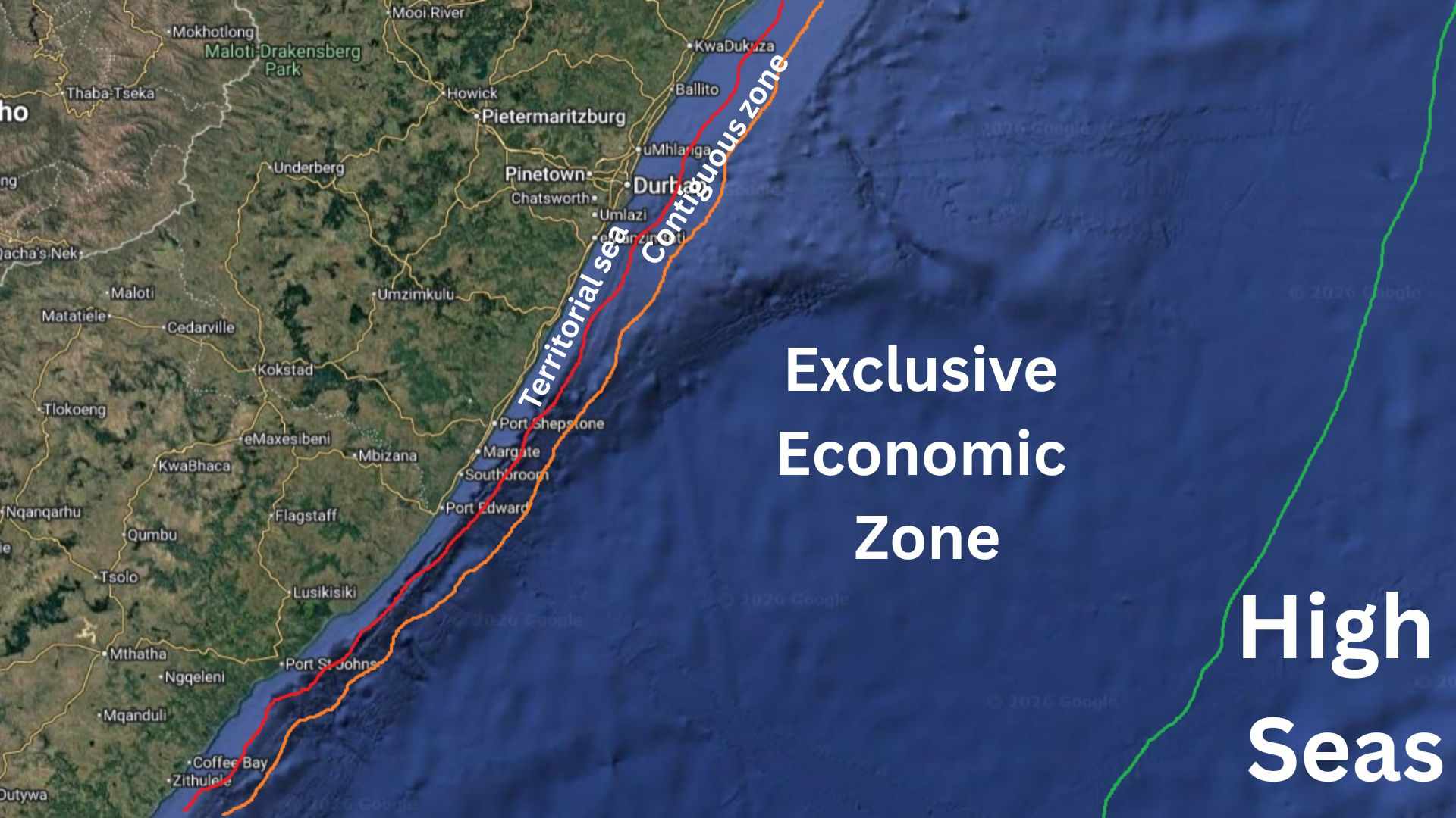
A private vessel leaving or entering a country also passes through several maritime zones.
The first major zone is the territorial sea, which in general international law may extend up to 12 nautical miles from the coastal state’s baseline. Within this zone, the coastal state has strong authority. A foreign vessel may have the right of innocent passage, but innocent passage is not the same as unrestricted freedom. Sailing through territorial waters may be allowed; stopping, anchoring, landing, fishing, loading or unloading goods, changing crew, entering a restricted zone, or deviating suspiciously from a declared route can create problems.
Beyond the territorial sea, a coastal state may also have a contiguous zone, often extending up to 24 nautical miles from the baseline. Here, the state may still act to prevent or punish certain violations connected to customs, immigration, fiscal and sanitary laws. For a vessel that has cleared out properly and is simply continuing offshore, this may create no practical difficulty, but the administrative shadow of the coast does not end instantly at 12 nautical miles.
Exclusive Economic Zone
Farther out, up to 200 nautical miles from the baseline, a coastal state may have an Exclusive Economic Zone, or EEZ. This is not national territory in the same way as the territorial sea, but the coastal state has special rights over natural resources, economic activity, scientific research, offshore installations and marine environmental protection. A yacht simply navigating through the EEZ may feel as if it is in open sea, but fishing, research, seabed activity, interference with installations, environmental violations, or restricted activities may still be regulated.
For ordinary passage, the practical rule is straightforward: keep moving, respect navigation and safety rules, do not exploit resources, avoid restricted installations, and do not treat the sea as a lawless space just because land is far away.
High Seas and Route Changes
Beyond national maritime zones, a private vessel may enter the high seas, often called international waters. This is the part of the ocean that most closely matches the idea of maritime freedom. There are no roads, no border posts, no coastguard station every few kilometres, and often no visible authority nearby.
But the high seas are not “nothing.” A vessel remains registered under a flag state, and that flag state gives the vessel its legal nationality. In practice, the boat still has a registration, a captain or master, a crew, documents, safety obligations and a legal identity. Other states usually cannot simply board a properly registered foreign vessel on the high seas without a recognized reason, although exceptions exist for serious issues such as piracy, slave trade, unauthorized broadcasting, statelessness, or other situations recognized under international law.
Can you be inspected in the high seas?
Most of the time, a small yacht in the middle of the ocean will not be inspected by anyone. That is part of the reality of offshore travel: the space is vast, sparse and physically free. But this freedom also means responsibility. If the route changes, the captain must be able to explain it. If the vessel arrives months later in another country, the paperwork chain returns.
A yacht that cleared out with one intended destination may later continue elsewhere because of weather, currents, vessel condition, crew health, fuel, safety, conflict, political conditions, or navigation decisions. This is normal in principle. The ocean is not a railway line.
But the change should remain explainable. At the next port of entry, authorities may ask for the last port of departure, date of departure, clearance papers, crew list, route history, stops, changes and unusual events. A logbook, GPS track, weather records, satellite messages, crew consistency and clear documentation may become important.
High seas freedom does not remove port logic. It only moves the administrative check from the middle of the ocean to the last departure port, the vessel’s flag state and the next legal arrival port.
Archipelagic States: Water Inside a Country
Some countries make the administrative geography of the sea even more complex. Archipelagic states, such as Indonesia, are not simply collections of islands separated by empty international water. The water between the islands may form part of the country’s archipelagic maritime system.
A traveller may arrive from the Indian Ocean at an official port in western Indonesia, complete the entry formalities for the vessel and crew, and then move through the archipelago toward eastern Indonesia. In that case, the journey between islands is not a series of new international arrivals. It is movement inside an archipelagic state.
But this does not mean unrestricted freedom. After entry, the vessel may still need valid cruising or sailing documents, port clearances, harbourmaster procedures, local permits, marine park permissions, and respect for restricted areas. The boat is inside the country, but the country is not an empty water playground. It has ports, rules, protected zones, local authorities and a final exit procedure.
A clean archipelagic route looks like this: enter through an official port, complete vessel and crew formalities, obtain the necessary permission to cruise internally, move through the archipelago according to local rules, and clear out from an official exit port before continuing to the next country.
For independent sea travel, the legal route is never just the shortest or most meaningful line across water. It is a chain of permissions, zones and responsibilities. The boat connects those layers. The paperwork makes the connection legal.
Practical Limits of Independent Sea Travel
A private boat can make independent sea travel possible, but it does not remove the limits of the ocean. It only changes the kind of limits the traveller has to manage.
On land, difficult routes are shaped by mountains, deserts, forests, borders, roads, settlements and political barriers. At sea, the surface looks open, but it has its own geography: wind systems, currents, storm seasons, ice zones, reefs, distances, rescue limits, and legal entry points.
The sea has no mountains, but it has moving barriers.
For this reason, independent travel by private boat should not be treated as road travel continued across water. The vessel, the season, the crew, the documents, the weather window and the next legal landfall all become part of the same route problem. This follows the same logic as building an overland route plan, where the route is not just a line on the map, but a combination of transport, borders, timing, safety, resupply, costs and fallback options.
Weather, Seasons and Ocean Systems
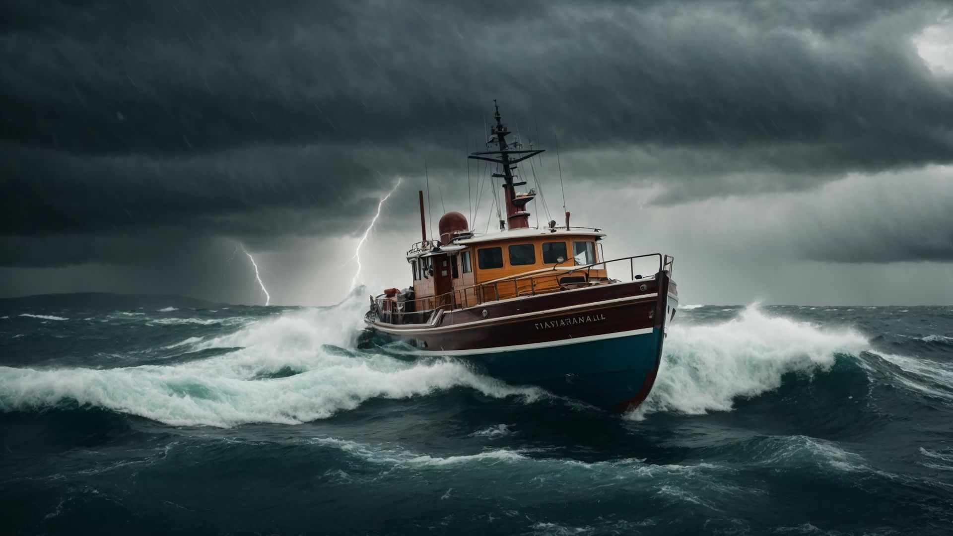
Weather at sea is not just a matter of comfort. It can decide whether a route is possible at all.
On land, bad weather may slow a journey down. At sea, especially offshore, the choices are more limited. The boat itself is the shelter, the transport system, and often the only safe platform available.
This is why sea routes depend on weather windows. A route may look short on the map but be difficult or unsafe in the wrong season. Another route may be longer but more realistic because it follows better winds, currents, shelter points or seasonal conditions.
Open sea distance is not the same as road distance. It is not enough to measure the number of nautical miles between two coasts. The real question is whether the vessel can safely cover that distance with enough time, fuel, water, food, crew capacity, repair ability and safety margin.
The ocean is not one uniform blue surface. Trade winds, monsoon systems, ocean currents, cyclone belts, storm tracks, doldrums, polar ice and seasonal pressure systems all influence where a boat can go, when it can go, and how difficult the passage becomes. In some ocean basins, seasonal storm systems are formal enough that route planning has to account for published hurricane or cyclone seasons.
On land, the terrain is mostly fixed. A mountain range stays in place. A desert stays in place. A road can be mapped. At sea, many barriers move with the atmosphere and the water.
A private boat route must therefore be planned through time as well as space. The same ocean segment may be reasonable in one season and dangerous in another. Waiting for a better weather window may be part of the route itself, not a failure of the plan.
Northern, Southern and Ice-Influenced Limits
Not every private boat is a vessel for the whole planet.
Many private sea routes remain in relatively moderate conditions: coastal waters, warm seas, trade-wind routes, archipelagos, protected passages, or well-known offshore crossings. These are already serious enough, but they are very different from high-latitude sailing.
Farther north or south, the limits change. Cold water, fog, strong storms, short weather windows, lack of shelter, iceberg risk, and distance from rescue make the route much more demanding.
In the Southern Ocean and near Antarctic waters, the problem is not only cold. It is also ice, huge swell, extreme exposure, limited emergency options, and the need for a vessel prepared for high-latitude conditions. In the North Atlantic, Arctic approaches, Greenland waters and Labrador Sea, fog, icebergs, cold water and storms create a similar change in the route system.
This does not mean such places are impossible. It means they belong to a different category of travel. A normal private boat route is one thing. A high-latitude route is another. An ice-influenced or polar passage requires expedition-level preparation, vessel capability and risk management.
The practical lesson is simple: a boat that can cross a calm sea, a strait, a tropical archipelago or even a standard ocean passage is not automatically suitable for ice-influenced or polar waters.
Navigation, Communication and Rescue Distance
Offshore navigation is not road navigation.
On land, a navigation error may lead to a wrong road or a longer detour. At sea, it can mean a reef, a shoal, a missed harbour, an unplanned entry into foreign waters, a dangerous lee shore, fuel miscalculation, or arrival in the wrong conditions.
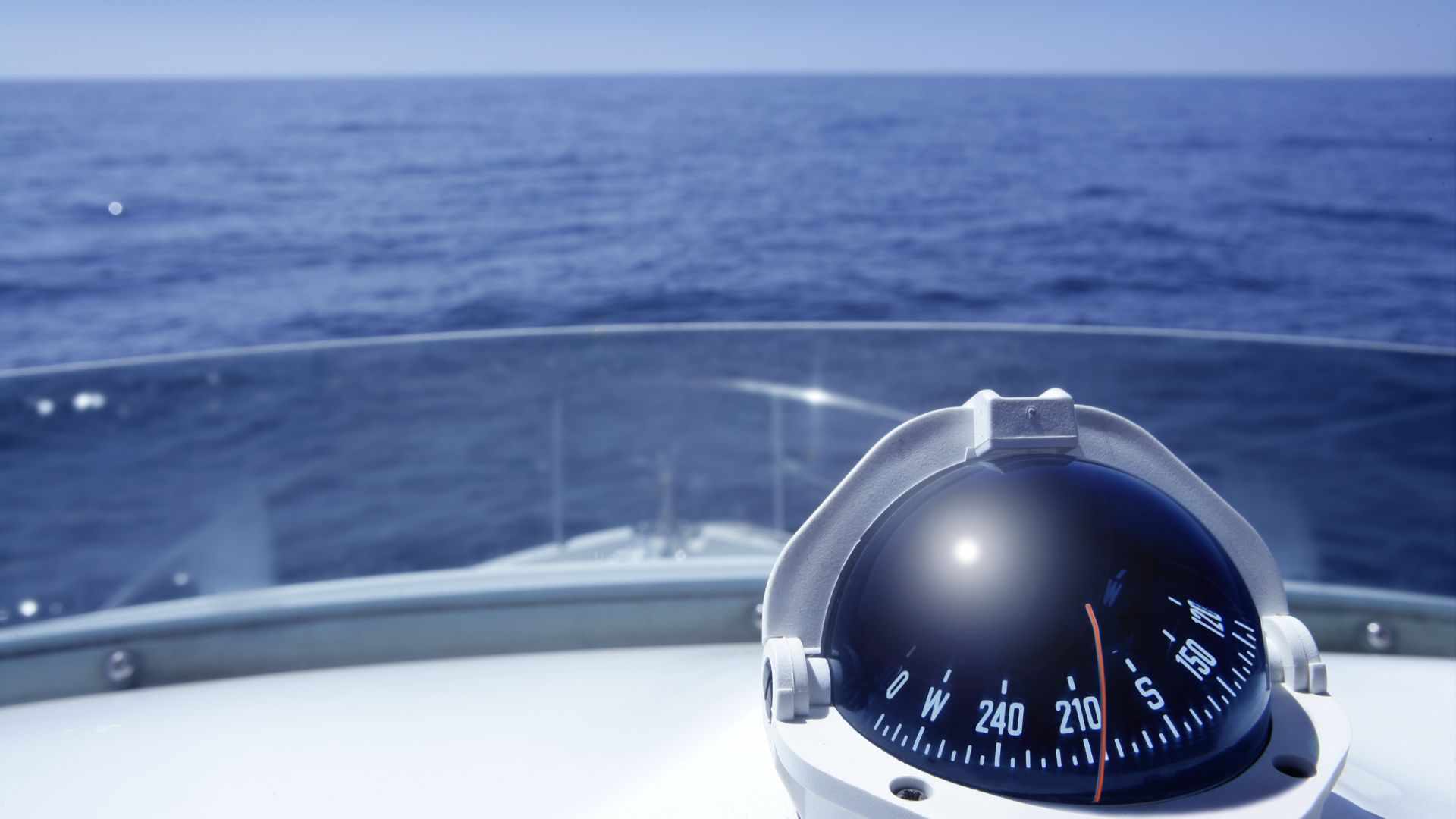
GPS is useful, but GPS alone is not a complete offshore system. Charts, backup navigation, weather information, communication, route planning, local notices, depth awareness and the ability to cross-check information all matter. The farther the boat moves from land and infrastructure, the more important redundancy becomes. This is where travel gear and expedition equipment become part of the route system, especially when navigation, communication, water, power, safety and emergency backup must work far from immediate help.
Communication
Communication is also a separate problem. Near shore, VHF radio, mobile signal, local traffic and port services may still be available. Offshore, this changes. A private vessel may need satellite communication, AIS, distress beacons, offshore weather access, radio equipment, or other systems depending on the route.
This is not a technical guide to marine electronics. The principle is simpler: offshore movement requires its own information system. Without communication and navigation redundancy, the boat may be physically free but practically isolated.
Remote at sea
Remote travel on land and remote travel at sea are also different. On land, “remote” often means far from a city, paved road, mobile signal, or quick medical help. That can be serious, but there is still usually ground under your feet. A broken vehicle can sometimes be left behind. A traveller may be able to walk, wait by a road, reach a village, or be evacuated overland.
At sea, the boat is not only the vehicle. It is the platform that keeps the crew alive.
If the vessel fails offshore, the problem is not simply mechanical. It becomes shelter, flotation, communication, water, food, medical support, rescue distance and survival time. A repair that would be inconvenient on land may become critical at sea. A minor injury may become serious if evacuation is far away.
The more distant the route is from land, ports, shipping lanes, rescue services and safe harbours, the more the boat itself becomes the expedition system.
Documents and Competence
Independent sea travel also requires more than a vessel and a route. It requires documents, legal identity and competence.
With cars, the idea is simple: to drive, you normally need a driving licence, the car ID document and insurance. With boats, the system is more complex. There is no single global “boat driving licence” that works everywhere in the same way.
The required certificate or licence depends on the flag state of the vessel, the country whose waters the boat enters, the size and type of boat, the engine, the navigation area, the radio equipment, the insurance requirements, and whether the voyage is private or commercial.
For some private pleasure craft, an ICC or equivalent certificate of competence may be accepted or expected, especially in Europe and the Mediterranean. In other places, national licences, local certificates, RYA or ASA qualifications, skipper certificates, radio licences, or other evidence of competence may be required or strongly recommended.
Owning and chartering
The distinction between owning and chartering also matters. If the boat is privately owned, the authorities may focus on vessel registration, flag, insurance, safety, skipper competence and entry documents. If the boat is chartered, the charter company may require a specific skipper certificate even if the legal minimum seems less clear.
For serious international sea travel, the skipper may need to prove not only that they can handle the vessel, but also that the vessel itself is legal and properly documented. This can include registration, proof of ownership, insurance, radio licence where required, crew list, passports, visas, customs documents, immigration documents, port clearance, cruising permits, temporary import documents for the vessel, and local navigation permissions.
The exact requirements vary by country and route, so they must be checked case by case. But the general principle is clear: private sea travel is not simply a matter of buying a boat and leaving.
A private boat can extend surface travel across water, but only when the whole system fits together: route, vessel, sea conditions, season, skipper, crew, documents, budget, safety margin and next legal landfall.
Cost Layers: Why Sea Continuity Is Expensive Even Without Luxury
Private sea travel is often misunderstood in two opposite ways.
The first misunderstanding is that it belongs only to the world of luxury yachts, billionaire marinas and superyachts. This is not true. Many long-distance sailors use older cruising boats, modest sailboats, small liveaboard vessels, shared arrangements, chartered boats, paid passages, or crew positions.
The second misunderstanding is that, because it does not have to be luxurious, it can be treated like buying a “sea car.” This is also wrong. A boat capable of serious offshore travel is not just a vehicle. It is a transport system, shelter, mechanical platform, navigation system, safety system, legal object and temporary home in a place where repair shops, fuel stations, roads and villages do not exist along the way.
Ocean travel may avoid the price of a plane ticket, but it does not avoid cost. It changes the cost structure.
Vessel Cost: Purchase, Charter, Passage or Crew
The first visible cost is the vessel itself, and the range is enormous.
A small boat for sheltered water may be relatively cheap, but it is not an ocean-crossing tool. A coastal boat may solve short gaps between islands, but it may not be suitable for offshore exposure. A used cruising sailboat may be far less expensive than a luxury yacht, but if it is old, poorly equipped or badly maintained, it may need major work before it is ready for a serious passage.
At the lower end, older cruising sailboats can sometimes be found for prices similar to a used vehicle. But “floating” does not mean “ocean-ready.” A cheap boat may need new rigging, sails, engine work, electronics, batteries, safety equipment, hull work, plumbing, insurance, registration and repairs before it becomes a reliable route-continuity tool.
The practical question is not simply “How much does a yacht cost?” The better question is: how much does a vessel cost after it is made suitable for the route?
Maintaining the boat
Owning the boat is only one option. A traveller may also charter a vessel, arrange a paid passage, join another boat as crew, or use a local private boat for a specific segment. Each option moves the cost and responsibility to a different place.
Buying a boat gives the greatest control, but it creates ownership costs, maintenance responsibility, storage problems and the same kind of ending problem found in one-way travel with your own transport. Chartering may reduce long-term responsibility, but it can be expensive and may limit where the vessel can go. Joining another boat as crew or passenger may be cheaper, but it gives less control over route, timing, safety standards and destination. Hiring a local boat can solve a short water gap, but it is not the same as controlling an ocean-capable vessel.
For route continuity, the cheapest option on paper is not always the best option. The question is whether the transport method gives enough control to keep the journey moving in the intended direction.
Operating Costs: Maintenance, Fuel, Power and Repairs
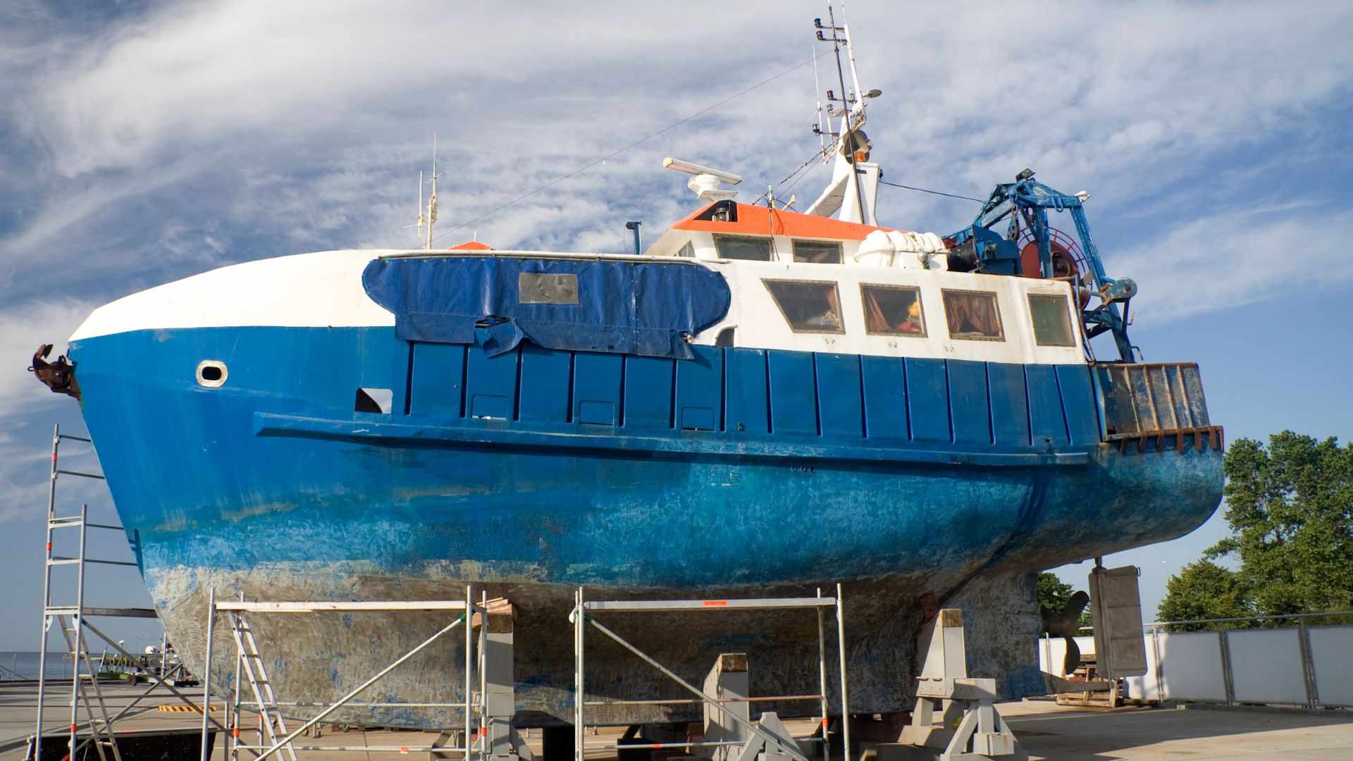
Maintenance is one of the biggest hidden costs of independent sea travel. A boat lives in a hostile environment: salt water, humidity, sun, movement, vibration, corrosion, marine growth and constant mechanical stress. Engines need service. Sails age. Rigging must be inspected. Hulls need antifouling. Pumps, batteries, electronics, steering systems and safety equipment all require attention.
This is why a cheap used boat can become expensive. Deferred maintenance is not only a financial issue on an ocean route. It becomes a safety issue.
Repairs are also more complicated than car repairs. On land, a vehicle problem may be solved by towing, a mechanic, or a replacement part from a town. At sea, the crew may need to diagnose and repair the problem themselves, or wait in a port until parts and skilled labour are available.
Fuel and power also shape the route. A sailboat can reduce fuel dependence, but it does not eliminate fuel entirely. Engines are still used for harbour manoeuvres, calms, charging, emergencies, narrow passages and some coastal sections. A motorboat or motor yacht is far more dependent on fuel, and for longer passages fuel range, storage, quality, refuelling points and emergency reserve become major limits.
Power systems matter too. Batteries, solar panels, wind generators, alternators, chargers, navigation electronics, communication systems, refrigeration and watermakers can all affect the real cost of autonomy.
Stops, Delays and Route Failure Buffer
A boat may be able to anchor for free in some places, but independent sea travel cannot assume that every stop is free.
Marinas, harbour dues, mooring buoys, port fees, anchoring permits, dinghy access, water, electricity, rubbish disposal, laundry, showers, fuel docks and local taxes can all add cost. In some places, anchoring is restricted. In others, marinas are expensive or full. And in remote regions, there may be no marina at all, but that does not mean logistics become easier.
The cost of stopping is part of the sea route. A vessel may need to wait for weather, repairs, documents, crew, parts or a better season. Every waiting period costs money, whether it is paid directly to a marina or indirectly through food, time, repairs and delay.
This is why a serious private sea route needs a route failure buffer: money and time reserved for the moment when the planned crossing does not happen as expected. Without this buffer, the traveller may be pushed into bad decisions: leaving in the wrong weather, skipping maintenance, rushing paperwork, choosing unsafe anchorages, or continuing with an underprepared vessel.
Insurance, Safety, Communication and Paperwork
Insurance can be a major cost, especially for offshore passages, hurricane or cyclone zones, high-latitude routes, older vessels or unusual itineraries. Separate travel or medical insurance may also be relevant for the traveller, but offshore sailing, private vessels and remote-sea activities should always be checked carefully in the policy conditions. Some insurers may exclude certain regions or seasons. Others may require specific equipment, survey reports, crew qualifications or route restrictions.
Safety equipment is another layer: lifejackets, liferaft, flares, EPIRB or other distress beacons, fire equipment, bilge pumps, emergency steering, medical kit, storm gear, harnesses, jacklines, spare parts, and other route-dependent systems.
Navigation and communication also cost money. Charts, pilot books, navigation apps, GPS backups, AIS, VHF radio, satellite communication, weather access, batteries, charging systems and emergency communication devices are not luxury accessories. Offshore, they are part of the vessel’s operating system.
International sea travel also has administrative costs. A vessel may need registration, proof of ownership, insurance papers, radio documents, crew lists, customs declarations, immigration documents, port clearance, cruising permits, temporary import documents, quarantine or biosecurity procedures, and sometimes local agents.
In some countries, the formal fees are modest. In others, port fees, agent fees, permits, clearance charges, inspection fees, marine park fees, national park permissions or cruising taxes can become significant. The important point is that the boat itself crosses borders. It may need to be temporarily imported, registered with authorities, cleared in, cleared out and accepted at the next port of entry.
Why a Sea Route Needs a Full Budget
The cost of independent sea travel cannot be compared directly with the price of a flight or a ferry ticket.
A plane ticket buys movement from one airport to another. A ferry ticket buys passage on someone else’s vessel. A private boat requires the traveller to carry the transport system itself.
That system includes purchase or charter cost, maintenance, fuel, repairs, insurance, safety equipment, navigation, communication, marina or anchoring costs, port fees, documents, permits, agents, waiting time and emergency reserves.
For mixed land-water routes, this is especially important. A west-to-east crossing of New Guinea illustrates this particularly well, where rivers, coastal transport, vehicle shipping and changing transport systems become part of a single continuous expedition rather than separate journeys. The sea segment may only be one part of the journey, but it can dominate the budget if it creates delays, repairs or vessel-ending problems.
For the land sections before and after the sea crossing, the Overland Route Fuel Calculator can help estimate vehicle fuel cost. For the wider route budget — driving days, ferries, private boat segments, border costs, accommodation, food, maintenance and delay buffers — the Overland Route Cost Planner Lite is more useful because it treats the journey as a staged system rather than a single transport ticket. You can find both tools on the JBH Resources & Tools page, together with other current and future route-planning resources for long-distance surface travel.
The key lesson is simple: independent sea travel does not have to be luxurious, but it has to be funded as a system. A private boat may solve a water barrier, but only if the traveller can afford the vessel, the delay, the maintenance and the uncertainty that come with it.
Life On Board: The Boat Is Not Self-Driving
One practical limit of independent sea travel is easy to overlook from land: the boat does not stop being a route system just because the crew is tired.
On a road journey, a traveller can usually stop the vehicle, park somewhere safe, turn off the engine and sleep. At sea, the situation is different. Even when a boat is moving smoothly, it is still inside a changing environment of wind, waves, currents, weather, traffic and navigation risk.
Autopilots, windvanes, GPS, radar and AIS can help, but they do not remove responsibility. A private boat is not a self-driving vehicle. Someone still has to monitor the route, sea state, sails or engine, weather, position, nearby vessels, alarms, equipment, and the approach to any coast, reef, shipping lane or port.
This is why watchkeeping becomes part of the journey.
Crewed or solo
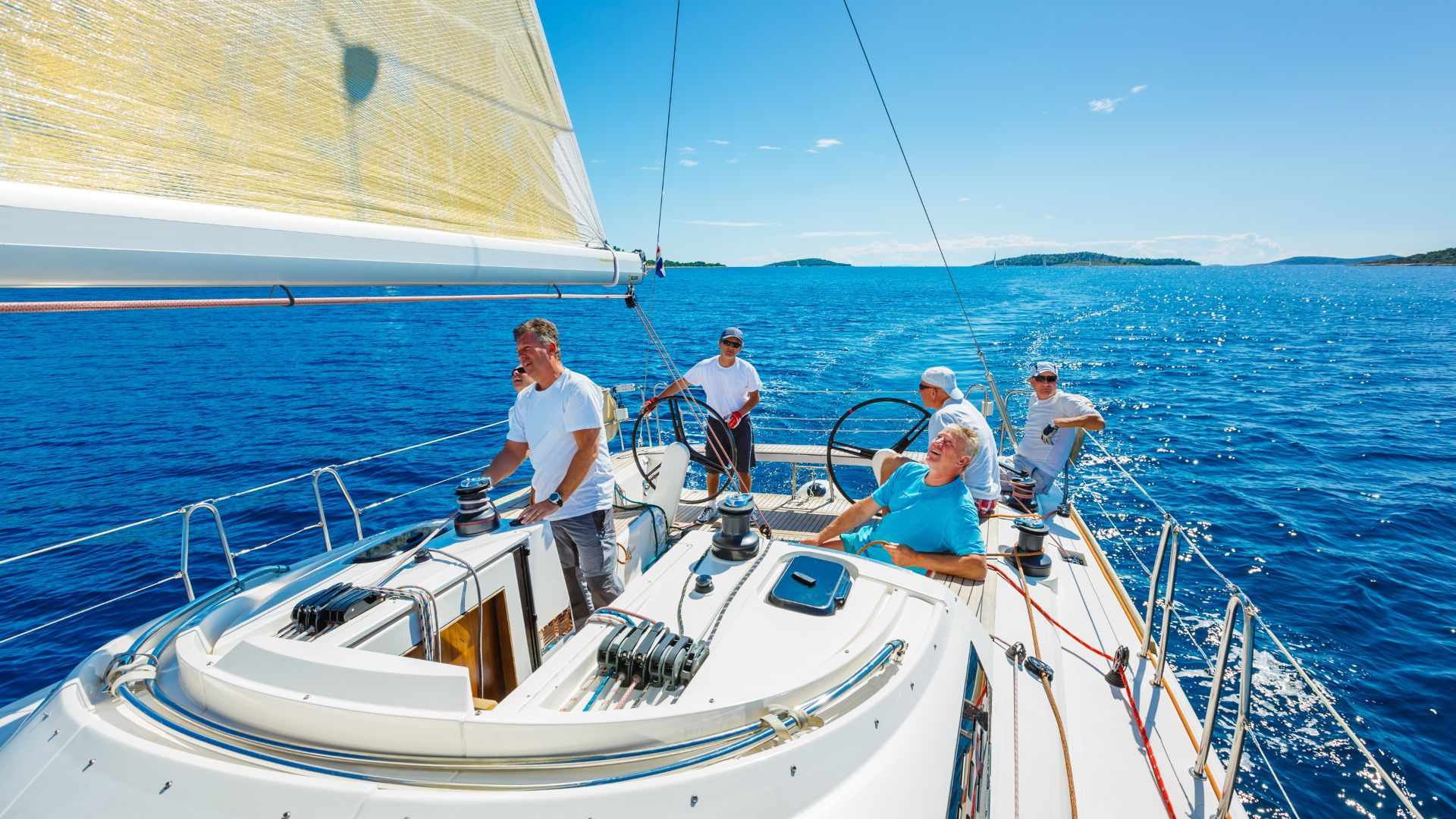
On a crewed boat, people can take turns. One person may be on watch while others sleep, then they rotate. This makes longer passages more realistic because rest, navigation, cooking, small repairs and weather monitoring can be shared. But a crew is not just a group of passengers. If only one person can actually handle the vessel, the system is weaker than it looks.
Solo sailing is possible, and many sailors have completed long solo passages. But it belongs to a different risk category. The solo sailor must manage sleep, navigation, weather, repairs, cooking, communication and emergencies alone. Fatigue becomes a serious operational problem. If something breaks, if the weather changes, or if the sailor is injured, there is no second person to take over.
This matters for route-continuity planning. A boat may be technically capable of crossing a sea, but the human system on board must also be capable of the passage.
Food, water, power and daily routine are part of the same equation. The boat must carry enough supplies not only for the planned crossing, but also for delay. Water storage, watermakers, cooking fuel, batteries, solar panels, charging systems, refrigeration, waste, seasickness, hygiene and medical needs all become practical route factors offshore.
A journey that looks simple on the map can become difficult if the crew cannot rest, eat, communicate, repair, navigate and maintain discipline over several days or weeks.
At sea, even rest is part of the operating system.
This is one of the clearest differences between using a private boat and using someone else’s transport. On a ferry, passenger ship or cargo vessel, the traveller is carried by an existing maritime system. On a private boat, the traveller becomes part of that system.
Conclusion: The Ocean Is Not an Empty Gap
Independent sea travel changes the meaning of route continuity.
On land, a route usually follows roads, tracks, borders, settlements, fuel points, repair options and human infrastructure. At sea, the route enters a different kind of geography. The surface is open, but it is not empty. It is shaped by weather, currents, storm seasons, ice, distance, maritime zones, ports of entry, vessel capability and the human system on board.
A private boat can extend a journey across water without using air travel. It can connect coasts, islands, archipelagos and even oceans in a way that ferries, cargo routes or public transport cannot always provide. For certain journeys, it may be the only way to keep a continuous surface line.
But a private boat does not make the sea simple. It creates a new responsibility system. Like any serious journey, it begins with preparing a trip as a system of transport, documents, timing, costs, safety and fallback choices. The traveller must think not only about where to go, but also about the vessel, documents, clearance procedures, weather windows, maintenance, cost, safety, watchkeeping, crew, supplies and the next legal landfall.
This is why private sea transport should not be seen as either a luxury fantasy or an easy shortcut. It is a serious route-continuity tool. It can solve the problem of water, but only when the boat, the route, the season, the law, the budget and the people on board all fit the same journey.
The ocean is not a blank space between landmasses. It is a moving geographic system. To cross it independently, the traveller must carry part of the route system with them.
Like it? Pin it here⇓! Follow us on Facebook, X and Instagram!
You may also like


Hi, we are Krasen and Ying Ying. Krasen is from Bulgaria, and Ying Ying is from China. We are passionate about geography and history, and we believe that the best way to experience it is by exploring the Earth in reality, not in a school, and not virtually.
So, we created this blog Journey Beyond the Horizon, where we share geographical knowledge, travel guides and tips how to experience it when you explore our planet, and a lot of inspiration.
And we wish you a happy journey, not just virtually, but most of all- in reality.
Enjoy!
Krasen and Ying Ying
Hi, we are Krasen and Ying Ying. Krasen is from Bulgaria, and Ying Ying is from China. We are passionate about geography and history, and we believe that the best way to experience it is by exploring the Earth in reality, not in a school, and not virtually. So, we created this blog Journey Beyond the Horizon, where we share geographical knowledge, travel guides and tips how to experience it when you explore our planet, and a lot of inspiration. And we wish you a happy journey, not just virtually, but most of all- in reality. Enjoy!

